Pinle
ပင်လယ် | |
|---|---|
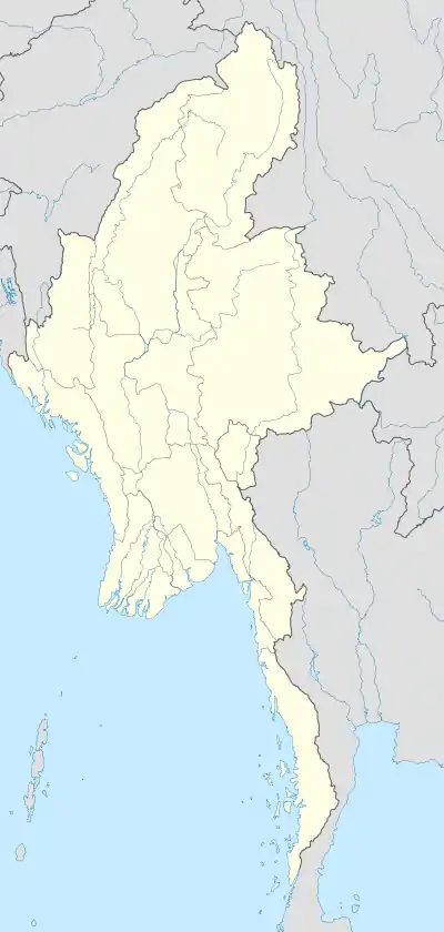 Pinle Location in Burma | |
| Coordinates: 21°18′30.83″N 96°12′37.73″E / 21.3085639°N 96.2104806°E | |
| Country | |
| Division | Mandalay |
| District | Kyaukse District |
| Township | Myittha Township |
| Time zone | UTC+6.30 (MST) |
Pinle (Burmese: ပင်လယ်) is an archaeological excavation site, located in Myittha Township, Mandalay Region, Myanmar.[1] Pinle was a capital of the Myinsaing Kingdom from 1297 to 1313.
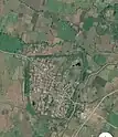
Satellite image of Pinle, just southwest of Pyu city Maingmaw.You can see old moat around the former city
Pinle today is a village on the edge of the walled Pyu complex which is known as Maingmaw.[2]
References
- ↑ "More antiques excavated in Pinle Myohaung". The New Light of Myanmar. 2009-11-29.
- ↑
- Hudson, Bob (2004). "The Origins of Bagan: The archaeological landscape of Upper Burma to AD 1300" (Document). Sydney: The University of Sydney. p. 287.
This article is issued from Wikipedia. The text is licensed under Creative Commons - Attribution - Sharealike. Additional terms may apply for the media files.