Pikin Guerrero Airport | |||||||||||
|---|---|---|---|---|---|---|---|---|---|---|---|
| Summary | |||||||||||
| Airport type | Public | ||||||||||
| Serves | Pikin Guerrero, Nicaragua | ||||||||||
| Elevation AMSL | 141 ft / 43 m | ||||||||||
| Coordinates | 11°55′20″N 85°20′20″W / 11.92222°N 85.33889°W | ||||||||||
| Map | |||||||||||
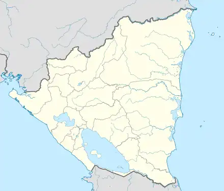 MNPG Location of the airport in Nicaragua | |||||||||||
| Runways | |||||||||||
| |||||||||||
Sources: Google Maps[1] | |||||||||||
Pikin Guerrero Airport (ICAO: MNPG) is a rural airstrip serving the hamlet of Pikin Guerrero[2] in the Chontales Department of Nicaragua. The runway is 1.5 kilometres (1 mi) east of the hamlet and 4.7 kilometres (3 mi) north of the Lake Nicaragua shoreline.
The Managua VOR-DME (Ident: MGA) is located 49.9 nautical miles (92 km) west of the airstrip.[3]
See also
References
- ↑ Google Maps - Pikin Guerrero
- ↑ IUCN Pikin Guerrero Project page 31
- ↑ "Managua VOR". Our Airports. Retrieved 12 January 2019.
External links
This article is issued from Wikipedia. The text is licensed under Creative Commons - Attribution - Sharealike. Additional terms may apply for the media files.