| Peruvaripallam Dam | |
|---|---|
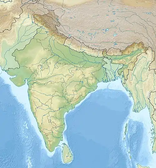
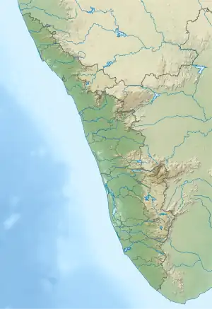
 Location of Peruvaripallam Dam in India Show map of India Peruvaripallam Dam (Kerala) Show map of Kerala Peruvaripallam Dam (Tamil Nadu) Show map of Tamil Nadu | |
| Official name | പെരുവരിപാലം |
| Location | Palakkad district, Kerala |
| Coordinates | 10°26′51.26″N 76°46′0.29″E / 10.4475722°N 76.7667472°E / 10.4475722; 76.7667472 |
| Opening date | 1971 (1971) |
| Dam and spillways | |
| Height | 27.74 m (91.0 ft) |
| Length | 466 m (1,529 ft) |
Peruvaripallam Dam is an earth-filled embankment dam on the Peruvaripallam River in Palakkad district of Kerala, India. The dam's reservoir is connected to the nearby Thunacadavu Reservoir to the south by an open cut channel. It is part of the Parambikulam Aliyar (Irrigation) Project. The Parambikulam Dam is located to the south.[1]
References
- ↑ "Peruvaripallam D00887". India WRIS. Archived from the original on 16 June 2014. Retrieved 16 June 2014.
This article is issued from Wikipedia. The text is licensed under Creative Commons - Attribution - Sharealike. Additional terms may apply for the media files.