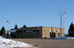
Pembroke Airport | |||||||||||
|---|---|---|---|---|---|---|---|---|---|---|---|
 | |||||||||||
| Summary | |||||||||||
| Airport type | Public | ||||||||||
| Operator | Pembroke and Area Airport Commission | ||||||||||
| Location | Pembroke, Ontario, Canada | ||||||||||
| Time zone | EST (UTC−05:00) | ||||||||||
| • Summer (DST) | EDT (UTC−04:00) | ||||||||||
| Elevation AMSL | 532 ft / 162 m | ||||||||||
| Coordinates | 45°51′52″N 077°15′05″W / 45.86444°N 77.25139°W | ||||||||||
| Map | |||||||||||
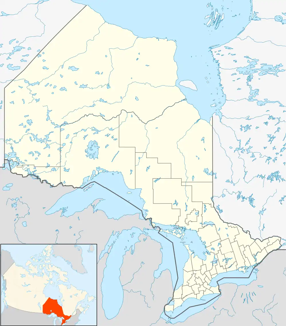 CYTA Location in Ontario | |||||||||||
| Runways | |||||||||||
| |||||||||||
Source: Canada Flight Supplement[1] | |||||||||||
Pembroke Airport (IATA: YTA, ICAO: CYTA) is located 5.2 nautical miles (9.6 km; 6.0 mi) northwest of the city of Pembroke, Ontario, Canada.
Pem-Air operated regularly scheduled air service between Pembroke Airport and Toronto for 31 years, ending its scheduled operation in December, 2000.[2]
GO Air Express operated briefly from November 2002 to April 2003.[3] with flights to Toronto.[4]
Since 2003 there has been no full-time tenant, but the airport is used by Ministry of Natural Resources (Ontario) water bombers.
References
- ↑ Canada Flight Supplement. Effective 0901Z 16 July 2020 to 0901Z 10 September 2020.
- ↑ Pem-Air grounds passenger flights
- ↑ "Pembroke airport confident of landing a carrier | Pembroke Daily Observer". www.thedailyobserver.ca. Archived from the original on 2016-03-03.
- ↑ "Travel and travel options to/From the Deep River area (Rental Cars, Taxis, Bus, Airport Limo, Flying) - Getting to and things to do in the Chalk River and Deep River, Upper Ottawa Valley. Ontario, Canada area - Lachlan Cranswick's Personal Homepage". Archived from the original on 2013-04-29. Retrieved 2013-03-12.
| By name | |
|---|---|
| By location indicator | |
| By province/territory | |
| By area | |
| National Airports System | |
| Related | |
| |
This article is issued from Wikipedia. The text is licensed under Creative Commons - Attribution - Sharealike. Additional terms may apply for the media files.