| Para Vista Adelaide, South Australia | |||||||||||||||
|---|---|---|---|---|---|---|---|---|---|---|---|---|---|---|---|
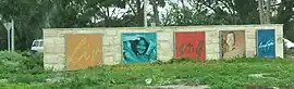 Entrance signage to Para Vista | |||||||||||||||
 Para Vista | |||||||||||||||
| Coordinates | 34°49′36″S 138°39′54″E / 34.82667°S 138.66500°E | ||||||||||||||
| Population | 3,023 (SAL 2021)[1] | ||||||||||||||
| Postcode(s) | 5093 | ||||||||||||||
| LGA(s) | City of Salisbury | ||||||||||||||
| State electorate(s) | Florey | ||||||||||||||
| Federal division(s) | Makin | ||||||||||||||
| |||||||||||||||
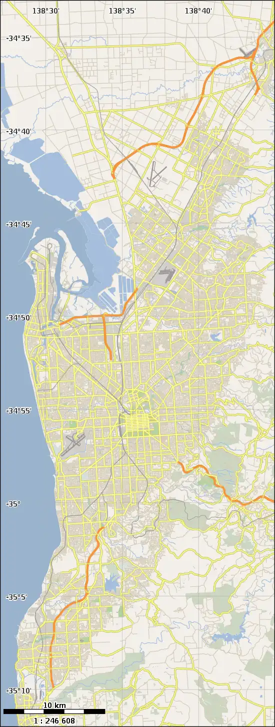
Para Vista is a suburb in northern Adelaide, South Australia. It is bounded by Wright Road to the South. The northern boundary of the suburb is Montague, Nelson and Milne Roads, making an backwards-L shape of the suburb. The western end is Redhill Road, but the eastern side does not follow streets.
History
Para Vista Post Office opened on 13 January 1964 but was renamed Valley View in October of that year.[2]
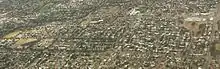
Aerial image of Para Vista, looking north; Wright Road is the east–west road at the bottom
References
Wikimedia Commons has media related to Para Vista, South Australia.
- ↑ Australian Bureau of Statistics (28 June 2022). "Para Vista (suburb and locality)". Australian Census 2021 QuickStats. Retrieved 28 June 2022.
- ↑ Premier Postal History. "Post Office List". Premier Postal Auctions. Retrieved 26 May 2011.
This article is issued from Wikipedia. The text is licensed under Creative Commons - Attribution - Sharealike. Additional terms may apply for the media files.