Oxbow Airport | |||||||||||
|---|---|---|---|---|---|---|---|---|---|---|---|
| Summary | |||||||||||
| Airport type | Public | ||||||||||
| Operator | Oxbow Airport Authority | ||||||||||
| Location | Enniskillen No. 3, near Oxbow, Saskatchewan | ||||||||||
| Time zone | CST (UTC−06:00) | ||||||||||
| Elevation AMSL | 1,850 ft / 564 m | ||||||||||
| Coordinates | 49°13′26″N 102°08′46″W / 49.22389°N 102.14611°W | ||||||||||
| Map | |||||||||||
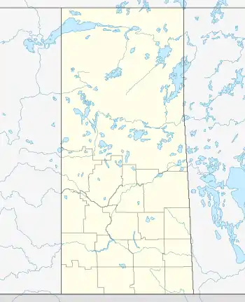 CJW2 Location in Saskatchewan  CJW2 CJW2 (Canada) | |||||||||||
| Runways | |||||||||||
| |||||||||||
Source: Canada Flight Supplement[1] | |||||||||||
Oxbow Airport (TC LID: CJW2) is located adjacent to Oxbow, Saskatchewan, Canada.
The Oxbow airport is a well maintained grass runway with permanent lighting for night time landings. It is popular with area flying enthusiasts for practice landings. There are several small hangars. There is no fuel available on site.
See also
References
| By name | |
|---|---|
| By location indicator | |
| By province/territory | |
| By area | |
| National Airports System | |
| Related | |
| |
This article is issued from Wikipedia. The text is licensed under Creative Commons - Attribution - Sharealike. Additional terms may apply for the media files.