Oukaïmeden
Ukayemdan / ⵓⴽⴰⵢⴻⵎⴷⴰⵏ | |
|---|---|
 View from Ukayemdan Mountain in Morocco | |
 Oukaïmeden Ukayemdan Mountain in Morocco | |
| Coordinates: 31°12′19″N 7°51′44″W / 31.205167°N 7.862263°W | |
| Website | www |

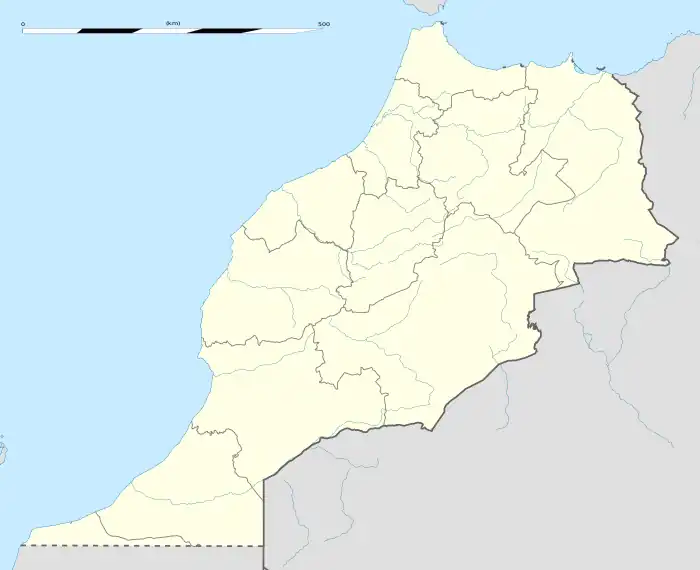
Oukaïmeden (Berber language: Ukayemdan) is a ski resort in the Atlas mountains near the Toubkal mountain, about 80 kilometres (50 mi) from Marrakesh, Morocco.
The skiing area is at an altitude of between 2,600 metres (8,500 ft) and 3,200 metres (10,500 ft) and has six ski lifts. There are some hotels and ski rental facilities nearby.
Oukaimeden has a warm-summer Mediterranean climate (Csb) with short but warm summers and long, chilly winters with a great amount of snowfall.
Oukaïmeden bouldering destination
Oukaïmeden is an international bouldering destination with thousands of boulders. There are roughly 1000 boulders documented. Oukaïmeden is known as a boulder destination since the 1970’s but its only after 2013 that it attracted international climbers. In the early years of bouldering in Oukaïmeden a handful of mainly local climbers from the Club Alpine Francais (CAF) visited the area. It is also the CAF that is responsible for the establishment of some first boulder circuits in the area. The circuits are similar to the circuits that are used in the well known en established bouldering area of Fontainebleau in France. Most of these circuits have vanished. On some rocks you can discover a little paint and in some cases the actual number that is painted on is visible.
In 2013 the imik’simik association started to document the boulders in the area. Imik’simik published a online guidebook (link here) with approximately 1000 boulders. Since the vast potential of the area more first ascents are to be expected. The imik’simik association has put Oukaïmeden on the map by organizing bouldering trips to Oukaïmeden.
The United States Geological Survey (USGS) listed Oukaïmeden (as Oukaïmedene) on its Featured Story webpage as being 54 km WSW of the M 6.8 2023 Marrakesh-Safi earthquake.[1]
| Climate data for Oukaïmeden, Morocco (1982-1994) | |||||||||||||
|---|---|---|---|---|---|---|---|---|---|---|---|---|---|
| Month | Jan | Feb | Mar | Apr | May | Jun | Jul | Aug | Sep | Oct | Nov | Dec | Year |
| Mean daily maximum °C (°F) | 5.5 (41.9) |
5.9 (42.6) |
8.0 (46.4) |
9.7 (49.5) |
12.7 (54.9) |
17.4 (63.3) |
22.2 (72.0) |
21.9 (71.4) |
19.5 (67.1) |
12.9 (55.2) |
9.0 (48.2) |
7.4 (45.3) |
12.7 (54.9) |
| Daily mean °C (°F) | 1.0 (33.8) |
1.8 (35.2) |
3.7 (38.7) |
5.2 (41.4) |
8.4 (47.1) |
12.8 (55.0) |
17.6 (63.7) |
17.5 (63.5) |
15.0 (59.0) |
8.7 (47.7) |
4.7 (40.5) |
3.4 (38.1) |
8.3 (46.9) |
| Mean daily minimum °C (°F) | −3.3 (26.1) |
−2.2 (28.0) |
−0.2 (31.6) |
1.4 (34.5) |
4.0 (39.2) |
8.2 (46.8) |
12.9 (55.2) |
13.1 (55.6) |
10.3 (50.5) |
4.4 (39.9) |
0.4 (32.7) |
−1.0 (30.2) |
4.0 (39.2) |
| Average precipitation mm (inches) | 55.4 (2.18) |
78.4 (3.09) |
75.8 (2.98) |
56.9 (2.24) |
47.1 (1.85) |
23.0 (0.91) |
26.9 (1.06) |
18.7 (0.74) |
25.7 (1.01) |
39.2 (1.54) |
50.0 (1.97) |
39.2 (1.54) |
536.3 (21.11) |
| Average rainy days | 0.0 | 2.1 | 2.9 | 5.3 | 7.5 | 5.0 | 8.5 | 10.5 | 6.0 | 3.1 | 2.0 | 1.0 | 53.9 |
| Average snowy days | 9.0 | 10.0 | 10.0 | 3.8 | 2.0 | 1.0 | 0.0 | 0.0 | 0.0 | 1.2 | 6.0 | 4.5 | 47.5 |
| Average relative humidity (%) | 56 | 61 | 62 | 61 | 63 | 59 | 51 | 53 | 53 | 61 | 61 | 51 | 58 |
| Source: L'Association Internationale de Climatologie[2] | |||||||||||||
See also
References
- ↑ https://earthquake.usgs.gov/earthquakes/eventpage/us7000kufc/executive
- ↑ Badri, Wadi; Gauquelin, Thierry (Jan 1994). "Données météorologiques nouvelles sur le massif de l'Oukaimeden (2570 m, Haut Atlas de Marrakech, Maroc): un exemple de climat de haute montagne méditerranéenne". Publications de l'Association Internationale de Climatologie (in French). Retrieved 7 March 2021.
External links
31°12′19″N 7°51′44″W / 31.205167°N 7.862263°W