Nyársapát | |
|---|---|
 Flag  Coat of arms | |
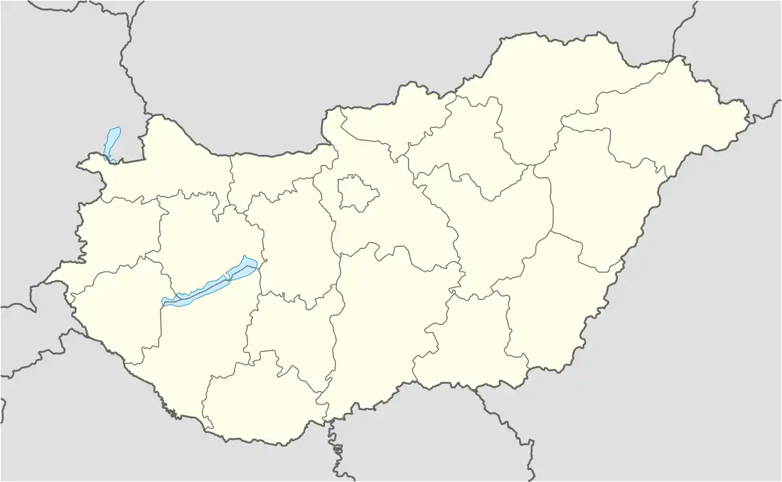 Nyársapát Location of Nyársapát in Hungary | |
| Coordinates: 47°06′04″N 19°48′12″E / 47.10121°N 19.80328°E | |
| Country | Hungary |
| Region | Central Hungary |
| County | Pest |
| Subregion | Ceglédi |
| Rank | Village |
| Area | |
| • Total | 54.03 km2 (20.86 sq mi) |
| Population (1 January 2008)[2] | |
| • Total | 1,836 |
| • Density | 34/km2 (88/sq mi) |
| Time zone | UTC+1 (CET) |
| • Summer (DST) | UTC+2 (CEST) |
| Postal code | 2712 |
| Area code | +36 53 |
| KSH code | 20066[1] |
| Website | www.nyarsapat.hu |
Nyársapát (Hungarian pronunciation: [ˈɲaːrʃɒpaːt]) is a village in Pest County, Hungary, on the Great Hungarian Plain between the Danube and the Tisza rivers, approximately 72 km (44 mi) southeast of the Hungarian capital, Budapest.
Location
Nyársapát is surrounded by Cegléd in the north, Nagykőrös in the south, Csemő in the west, and Törtel in the east.
References
- 1 2 Nyársapát at the Hungarian Central Statistical Office (Hungarian).
- ↑ Nyársapát at the Hungarian Central Statistical Office (Hungarian). 1 January 2008
47°06′N 19°48′E / 47.100°N 19.800°E
This article is issued from Wikipedia. The text is licensed under Creative Commons - Attribution - Sharealike. Additional terms may apply for the media files.