| Nissitissit River | |
|---|---|
 Nissitissit River in Brookline, New Hampshire | |
   | |
| Location | |
| Country | United States |
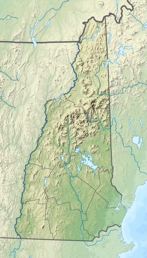
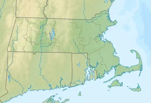
| States | New Hampshire, Massachusetts |
| Counties | Hillsborough, NH, Middlesex, MA |
| Towns | Brookline & Hollis, NH; Pepperell, MA |
| Physical characteristics | |
| Source | Potanipo Pond |
| • location | Brookline, NH |
| • coordinates | 42°44′10″N 71°40′20″W / 42.73611°N 71.67222°W / 42.73611; -71.67222 |
| • elevation | 264 ft (80.5 m) |
| Mouth | Nashua River |
• location | Pepperell, MA |
• coordinates | 42°40′18″N 71°33′53″W / 42.67167°N 71.56472°W / 42.67167; -71.56472 |
• elevation | 168 ft (51 m) |
| Length | 10.5 mi (16.9 km) |
| Type | Scenic |
| Designated | March 12, 2019 |
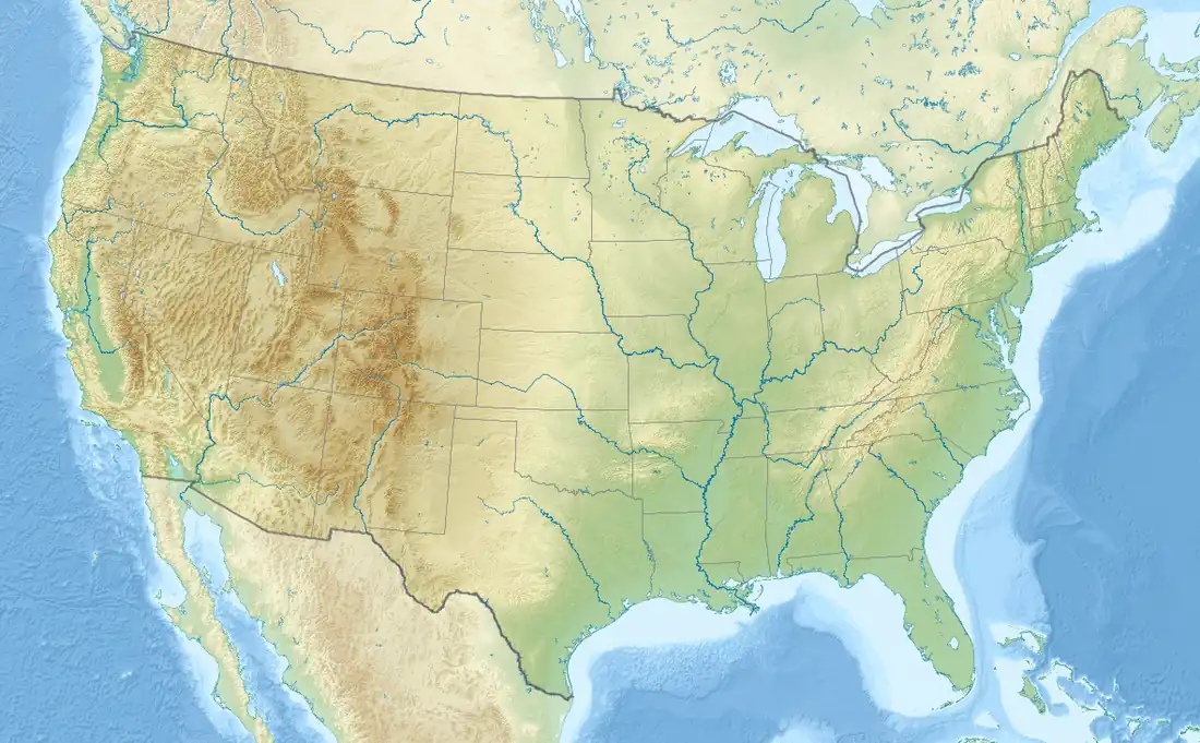
The Nissitissit River is a 10.5-mile-long (16.9 km)[1] river in southern New Hampshire and northern Massachusetts in the United States. It is a tributary of the Nashua River, itself a tributary of the Merrimack River, which flows to the Gulf of Maine. This river is part of the Nashua River Watershed.
The Nissitissit River begins at the outlet of Potanipo Pond in the town of Brookline, New Hampshire. It flows southeast at a very mild gradient, crossing the southwest corner of Hollis, New Hampshire, before entering Massachusetts, where it joins the Nashua River in the town of Pepperell.
See also
References
_map.jpg.webp)
Nissitissit River and environs
| Atlantic Ocean |
| ||||||||
|---|---|---|---|---|---|---|---|---|---|
| Gulf of Maine |
| ||||||||
| Long Island Sound |
| ||||||||
| Narragansett Bay |
| ||||||||
| Upper New York Bay |
| ||||||||
| Gulf of Maine |
| ||||||||||
|---|---|---|---|---|---|---|---|---|---|---|---|
| Long Island Sound |
| ||||||||||
This article is issued from Wikipedia. The text is licensed under Creative Commons - Attribution - Sharealike. Additional terms may apply for the media files.