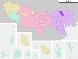
N15 Nishigahara Station 西ケ原駅 | |||||||||||
|---|---|---|---|---|---|---|---|---|---|---|---|
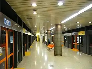 Nishigahara station platforms, 2008 | |||||||||||
| General information | |||||||||||
| Location | 2-3-8 Nishigahara, Kita, Tokyo Japan | ||||||||||
| Operated by | |||||||||||
| Line(s) | N Namboku Line | ||||||||||
| Platforms | 1 island platform | ||||||||||
| Tracks | 2 | ||||||||||
| Construction | |||||||||||
| Structure type | Underground | ||||||||||
| Other information | |||||||||||
| Station code | N-15 | ||||||||||
| History | |||||||||||
| Opened | 29 November 1991 | ||||||||||
| Passengers | |||||||||||
| FY2013 | 7,005 daily | ||||||||||
| Services | |||||||||||
| |||||||||||
| Location | |||||||||||
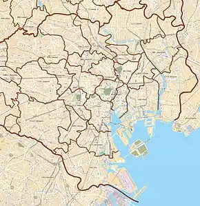 Nishigahara Station Location within Special wards of Tokyo  Nishigahara Station Nishigahara Station (Tokyo Bay and Bōsō Peninsula) 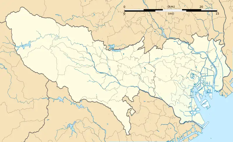 Nishigahara Station Nishigahara Station (Tokyo)  Nishigahara Station Nishigahara Station (Japan) | |||||||||||
Nishigahara Station (西ケ原駅, Nishigahara-eki) is a subway station in the Tokyo Metro network. It is located in Kita, Tokyo. The station is the least used on the entire Metro network. Kyu-Furukawa Gardens can be reached by walking from this station.
Lines
- Tokyo Metro Namboku Line (station number N-15)
Platform
The platform is a simple island configuration, with one island platform serving two tracks.
| 1 | N Namboku Line | for Akabane-Iwabuchi SR Saitama Rapid Railway Line for Urawa-Misono |
| 2 |
|
Passenger statistics
With an average of 8,785 passengers daily in fiscal 2018, the station is the least used on the entire Tokyo Metro network and the only station on the network to have an average of less than 10,000 users per day.[1]
The passenger statistics for previous years are as shown below.
| Fiscal year | Daily average |
|---|---|
| 2011 | 6,201[2] |
| 2012 | 6,469[3] |
| 2013 | 7,005[4] |
| 2014 | 7,747[5] |
| 2015 | 8,105[6] |
| 2016 | 8,383[7] |
| 2017 | 8,523[8] |
| 2018 | 8,785[1] |
History
Nishigahara Station opened on 29 November 1991.
The station facilities were inherited by Tokyo Metro after the privatization of the Teito Rapid Transit Authority (TRTA) in 2004.[9]
References
- 1 2 各駅の乗降人員ランキング [Station usage ranking] (in Japanese). Tokyo Metro. Retrieved 21 February 2020.
- ↑ 駅別乗降人員順位表(2011年度1日平均) [Station passenger figures (Fiscal 2011)] (in Japanese). Japan: Tokyo Metro. Retrieved 31 August 2014.
- ↑ 各駅の乗降人員ランキング (2012年) [Station usage ranking (2012)] (in Japanese). Tokyo Metro. Retrieved 31 August 2014.
- ↑ 各駅の乗降人員ランキング [Station usage ranking] (in Japanese). Tokyo Metro. Retrieved 31 August 2014.
- ↑ 各駅の乗降人員ランキング [Station usage ranking] (in Japanese). Tokyo Metro. Retrieved 21 February 2020.
- ↑ 各駅の乗降人員ランキング [Station usage ranking] (in Japanese). Tokyo Metro. Retrieved 21 February 2020.
- ↑ 各駅の乗降人員ランキング [Station usage ranking] (in Japanese). Tokyo Metro. Retrieved 21 February 2020.
- ↑ 各駅の乗降人員ランキング [Station usage ranking] (in Japanese). Tokyo Metro. Retrieved 21 February 2020.
- ↑ "「営団地下鉄」から「東京メトロ」へ" [From "Teito Rapid Transit Authority" to "Tokyo Metro"]. Tokyo Metro Online. 8 July 2006. Archived from the original on 16 May 2012. Retrieved 29 May 2022.
External links
- Nishigahara Station Information (Tokyo Metro) (in Japanese)
