Neck | |
|---|---|
Village | |
.jpg.webp) | |
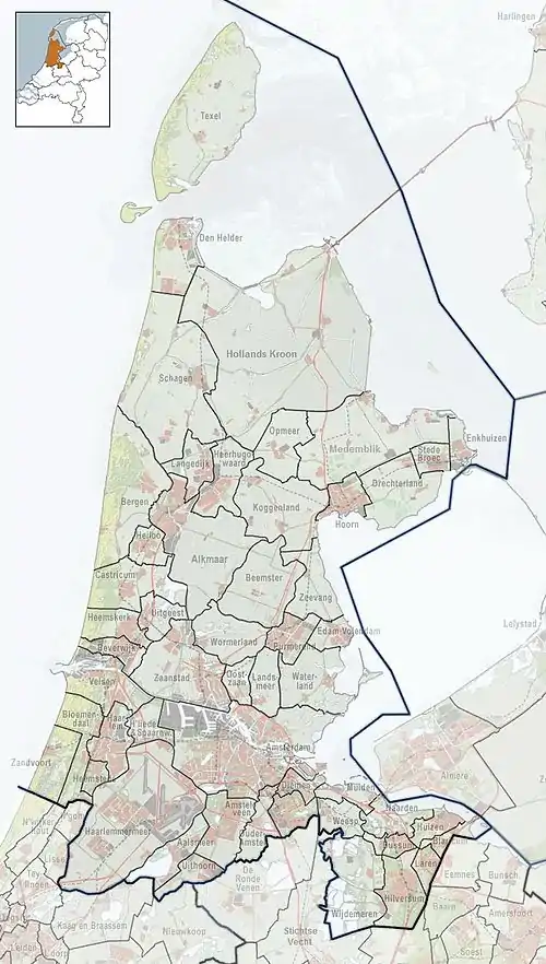
 Neck Location in the Netherlands  Neck Location in the province of North Holland in the Netherlands | |
| Coordinates: 52°30′30″N 4°54′45″E / 52.50833°N 4.91250°E | |
| Country | Netherlands |
| Province | North Holland |
| Municipality | Wormerland |
| Area | |
| • Total | 0.54 km2 (0.21 sq mi) |
| Elevation | −1.9 m (−6.2 ft) |
| Population (2021)[1] | |
| • Total | 1,150 |
| • Density | 2,100/km2 (5,500/sq mi) |
| Time zone | UTC+1 (CET) |
| • Summer (DST) | UTC+2 (CEST) |
| Postal code | 1456[1] |
| Dialing code | 0299 |
Neck is a village in the northwest Netherlands. It is located in the municipality of Wormerland, North Holland, about 3 km west of Purmerend.
The village was first mentioned in 1328 as "sic: van Hicke", and means "neck" which refers to the narrowest point of the waterway separating the Beemster from the Wormer.[3]
The polder mill Nekkermolen dates from 1631. In 1878, a pumping station was installed, but the wind mill has remained in service to this day to lend a hand, because the water in the polder rises fast during a storm.[4]
References
- 1 2 3 "Kerncijfers wijken en buurten 2021". Central Bureau of Statistics. Retrieved 2 May 2022.
- ↑ "Postcodetool for 1456AA". Actueel Hoogtebestand Nederland (in Dutch). Het Waterschapshuis. Retrieved 2 May 2022.
- ↑ "Neck - (geografische naam)". Etymologiebank (in Dutch). Retrieved 2 May 2022.
- ↑ "Nekkermolen". Molen database (in Dutch). Retrieved 2 May 2022.
This article is issued from Wikipedia. The text is licensed under Creative Commons - Attribution - Sharealike. Additional terms may apply for the media files.