Neafus | |
|---|---|
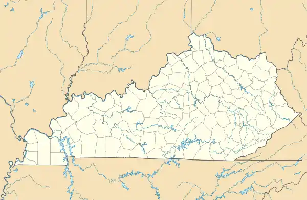 Neafus Location within the state of Kentucky  Neafus Neafus (the United States) | |
| Coordinates: 37°23′42.18″N 86°36′42.95″W / 37.3950500°N 86.6119306°W | |
| Country | United States |
| State | Kentucky |
| County | Butler |
| Elevation | 630 ft (190 m) |
| Time zone | UTC-6 (Central (CST)) |
| • Summer (DST) | UTC-5 (CDT) |
| Area code(s) | 270 and 364 |
| GNIS feature ID | 508089[1] |
Neafus is an unincorporated community located in northern Butler County in south-central Kentucky, United States.[1]
Geography
Neafus is located at the tripoint where Butler County's northern boundaries meet with the boundary between Ohio and Grayson Counties.[2] The community also marks the northern terminus of Kentucky Route 340, which previously connected with US 62 west of Do Stop.
References
- 1 2 U.S. Geological Survey Geographic Names Information System: Neafus, Kentucky
- ↑ DeLorme (2010). Kentucky Atlas and Gazetteer (Map). Yarmouth, Maine: DeLorme. p. 64. § A1. ISBN 0-89933-340-0.
Municipalities and communities of Butler County, Kentucky, United States | ||
|---|---|---|
| Cities |  Location of Butler County, Kentucky | |
| Unincorporated communities | ||
| Footnotes | ‡This populated place also has portions in an adjacent county or counties | |
Municipalities and communities of Grayson County, Kentucky, United States | ||
|---|---|---|
| Cities |  Location of Grayson County, Kentucky | |
| CDP | ||
| Other unincorporated communities | ||
| Footnotes | ‡This populated place also has portions in an adjacent county or counties | |
Municipalities and communities of Ohio County, Kentucky, United States | ||
|---|---|---|
| Cities |  Location of Ohio County, Kentucky | |
| CDPs | ||
| Other unincorporated communities | ||
| Footnotes | ‡This populated place also has portions in an adjacent county or counties | |
This article is issued from Wikipedia. The text is licensed under Creative Commons - Attribution - Sharealike. Additional terms may apply for the media files.