Naw Wathu | |
|---|---|
Village | |
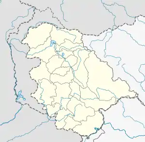 Naw Wathu Location in Jammu and Kashmir  Naw Wathu Naw Wathu (India) | |
| Coordinates: 33°42′27″N 75°06′29″E / 33.7076°N 75.1081°E | |
| Country | India |
| State | Jammu and Kashmir |
| District | Anantnag |
| Tehsil | Anantnag |
| Area | |
| • Total | 17.8 ha (44.0 acres) |
| Population (2011)[1] | |
| • Total | 412 |
| Time zone | UTC+05:30 (IST) |
NOWATHOO or Nawathoo, is a village in Anantnag tehsil in Anantnag district in the Indian union territory of Jammu and Kashmir. It is one of 105 villages in Anantnag tehsil along with villages like Monghall, Danter, Lali Pora, Mala Pora and Furrah.
Nowathoo is 3 kilometres (1.9 mi) away from Lal Chowk, Anantnag. It is one of the small villages Anantnag. Nowathoo is divided into two parts.
One part is with hanji danter called nowathoo danter,
And another part is named as nowathoo Anantnag.
The village has road connectivity with all the major parts of Anantnag And with national highway 44
And national highway 244.
Demographics
The total population was 412 at the 2011 Indian census, comprising 214 males and 198 females in 65 households.[1]
Kashmiri is the main local language. People also speak Urdu and Hindi.
References
- 1 2 3 "District Census Handbook Anantnag" (PDF). Census of India. p. 188. Retrieved 30 May 2022.