Mtoa
Kata ya Mtoa | |
|---|---|
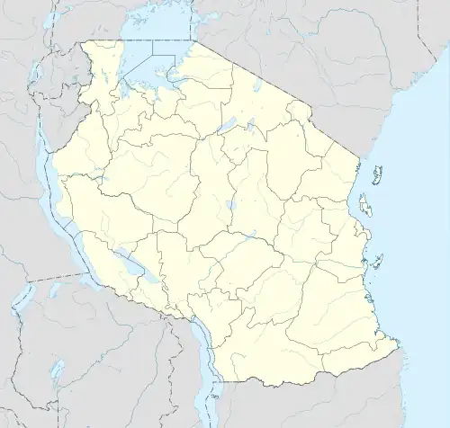
 Mtoa Location of Mtoa | |
| Coordinates: 4°31′42″S 34°11′09″E / 4.5283228°S 34.1857689°E | |
| Country | |
| Region | Singida Region |
| District | Iramba District |
| Ward | Mtoa |
| Population (2016)[1] | |
| • Total | 21,643 |
| Time zone | UTC+3 (EAT) |
| Postal code | 43311 |
Mtoa is an administrative ward in the Iramba District of the Singida Region of Tanzania.[2] In 2016 the Tanzania National Bureau of Statistics report there were 21,643 people in the ward, from 19,724 in 2012.[3][1]
Climatology
| Mtoa | ||||||||||||||||||||||||||||||||||||||||||||||||||||||||||||
|---|---|---|---|---|---|---|---|---|---|---|---|---|---|---|---|---|---|---|---|---|---|---|---|---|---|---|---|---|---|---|---|---|---|---|---|---|---|---|---|---|---|---|---|---|---|---|---|---|---|---|---|---|---|---|---|---|---|---|---|---|
| Climate chart (explanation) | ||||||||||||||||||||||||||||||||||||||||||||||||||||||||||||
| ||||||||||||||||||||||||||||||||||||||||||||||||||||||||||||
| ||||||||||||||||||||||||||||||||||||||||||||||||||||||||||||
Mtoa is located in the Aw (Savannah) Köppen climate classification.[6] The average temperature does not go below freezing, and can see temperatures into the 100s in the spring months.
Etymology
Mtoa is a Swahili word that means giver or provider. It stems from the Swahili root -toa (lit. to produce).[7]
References
- 1 2 2016 Makadirio ya Idadi ya Watu katika Majimbo ya Uchaguzi kwa Mwaka 2016, Tanzania Bara [Population Estimates in Administrative Areas for the Year 2016, Mainland Tanzania] (PDF) (Report) (in Swahili). Dar es Salaam, Tanzania: National Bureau of Statistics. 1 April 2016. Archived (PDF) from the original on 27 December 2021. Retrieved 3 July 2022.
- ↑ "Where is Mtoa in Singida, Tanzania located?". www.gomapper.com. Retrieved 14 June 2023.
- ↑ 2012 Population and Housing Census - Population Distribution by Administrative Areas (PDF) (Report). Dar es Salaam, Tanzania: National Bureau of Statistics. 1 March 2013. Archived (PDF) from the original on 26 March 2022. Retrieved 3 July 2022.
- ↑ "NASA Earth Observations Data Set Index". NASA. Retrieved 30 January 2016.
- ↑ "NASA Earth Observations: Rainfall (1 month - TRMM)". NASA/Tropical Rainfall Monitoring Mission. Retrieved 30 January 2016.
- ↑ Ralph, Jolyon (2023). "Mtoa, Mtekente, Iramba, Singida Region, Tanzania". mindat.org. Retrieved 13 June 2023.
- ↑ "toa", Wiktionary, 23 March 2023, retrieved 14 June 2023
This article is issued from Wikipedia. The text is licensed under Creative Commons - Attribution - Sharealike. Additional terms may apply for the media files.