| Mount Leyli | |
|---|---|
 Mount Leyli | |
| Highest point | |
| Elevation | 3,157 m (10,358 ft) |
| Coordinates | 41°09′56″N 43°57′15″E / 41.16556°N 43.95417°E |
| Geography | |
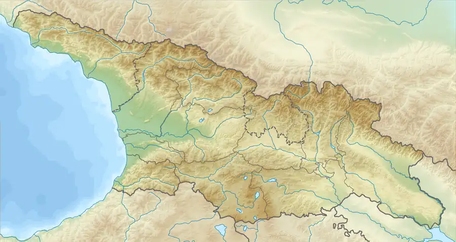
 Mount Leyli Location of Mount Leyli between Kvemo Kartli and Samtskhe-Javakheti regions  Mount Leyli Mount Leyli (Georgia) | |
| Location | Samtskhe–Javakheti, Kvemo Kartli, Georgia / Armenia, Shirak Province, Lori Province |
| Countries | Georgia and Armenia |
| Parent range | Javakheti |
| Geology | |
| Age of rock | Quaternary |
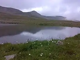
Mount Leyli, also Leili (Georgian: ლეილი) is a 3,157 m (10,358 ft) Mountain lies on the border of Samtskhe–Javakheti, Kvemo Kartli (Georgia)[1] and Shirak Province, Lori Province (Armenia). Leyli is second highest peak of the Javakheti Range in the Lesser Caucasus Mountains.
See also
Wikimedia Commons has media related to Leyli.
Image gallery
References
- ↑ Tuniyev,1 , 2 B. , 3 and B. S., S. B.; Iremashvili, G. N.; de las Heras, B.; Tuniyev, B. S. (2014). "ABOUT TYPE LOCALITY AND FINDS OF DAREVSKY'S VIPER [Pelias darevskii (VEDMEDERJA, ORLOV ET TUNIYEV, 1986), REPTILIA: VIPERINAE] IN GEORGIA". Russian Journal of Herpetology. 21 (4): 281–290.
{{cite journal}}: CS1 maint: multiple names: authors list (link) CS1 maint: numeric names: authors list (link)
This article is issued from Wikipedia. The text is licensed under Creative Commons - Attribution - Sharealike. Additional terms may apply for the media files.

