| Mount Dom Dom | |
|---|---|
 The summit of Mount Dom Dom viewed from Dom Dom saddle | |
| Highest point | |
| Elevation | 740 m (2,430 ft) |
| Coordinates | 37°35′S 145°40′E / 37.583°S 145.667°E |
| Geography | |
| Parent range | Great Dividing Range |
| Climbing | |
| First ascent | Unknown |
| Easiest route | Hike up from Dom Dom saddle |
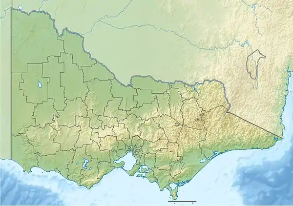
Mount Dom Dom is a mountain in Victoria, Australia 65 km from Melbourne.
Mount Dom Dom was the site of a plane crash involving a Cessna 210 aircraft on 18 June 1974 during stormy weather.[1]
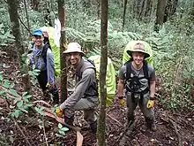
BSAR searchers at Mount Dom Dom
An extensive search was conducted by Victoria police, emergency services (including the SES and CFA) and volunteers (including BSAR) on and around Mount Dom Dom over five days for a hiker who went missing on Sunday 23 March 2008.[2]
The summit of Mount Dom Dom is most easily accessed by following the Dom Dom Road (a vehicle track) from Dom Dom saddle then ascending an ill-defined walking track north from the Dom Dom Road to the summit.
See also
References
- ↑ "Mount Dom Dom, Vic: Light Aircraft Crash". Emergency Management Australia. Australian Government. Archived from the original on 20 September 2008. Retrieved 28 February 2010.
{{cite web}}: CS1 maint: unfit URL (link) - ↑ "Search continues for lost hiker". The Age. 27 March 2008. Retrieved 28 February 2010.
This article is issued from Wikipedia. The text is licensed under Creative Commons - Attribution - Sharealike. Additional terms may apply for the media files.