| Mount Alifan | |
|---|---|
 Mount Alifan | |
| Highest point | |
| Elevation | 554 ft (169 m)[1] |
| Coordinates | 13°22′43″N 144°40′05″E / 13.37861°N 144.66806°E[1] |
| Geography | |
| Location | Guam, Micronesia, U.S. territory |
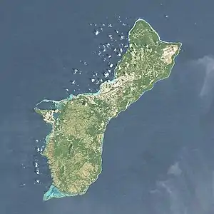
Mount Alifan is a peak on the U.S. island territory of Guam. It is located in Agat on the south-west of the island. Alifan is the highest point overseeing Agat Bay and was the site of fierce fighting during the 1944 U.S. invasion of Guam after four years of Japanese occupation. The War in the Pacific National Historical Park owns a "Mt. Alifan Unit" but it is undeveloped.[2]
References
- 1 2 "Mount Alifan". Geographic Names Information System. United States Geological Survey, United States Department of the Interior. Retrieved 2014-05-25.
- ↑ "War in the Pacific National Historical Park Brochure". U.S. National Park Service. Retrieved 2 March 2021.
This article is issued from Wikipedia. The text is licensed under Creative Commons - Attribution - Sharealike. Additional terms may apply for the media files.