| Monte Ceresino | |
|---|---|
 | |
| Highest point | |
| Elevation | 433 m (1,421 ft) |
| Coordinates | 44°58′55″N 9°09′07″E / 44.98194°N 9.15194°E |
| Geography | |
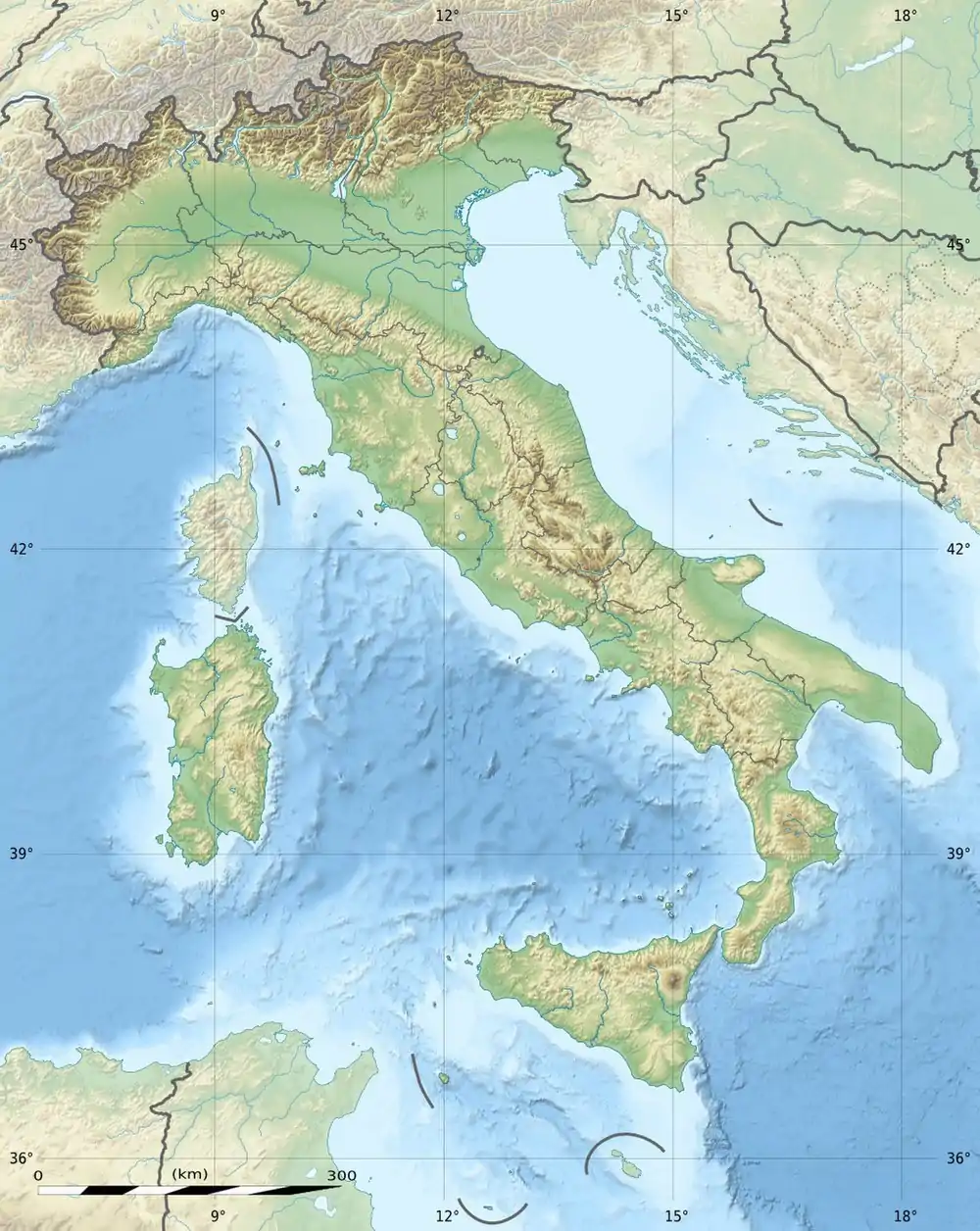 Monte Ceresino Italy | |
| Location | Lombardy, Italy |
Monte Ceresino is a mountain of Lombardy, Italy, located in the Province of Pavia. It has an elevation of 433 metres.
It is located at the top of two different valleys: that of the Rile (a hamlet in Lombardy), which descends to Casteggio, and that of San Zeno, which descends to Fumo. Part of the mountains slopes in the central-eastern part of Oltrepò Pavese are cultivated with Vineyards.[1]
References
- ↑ "Vineyards". Tenuta Travaglino. Retrieved 2022-06-19.
This article is issued from Wikipedia. The text is licensed under Creative Commons - Attribution - Sharealike. Additional terms may apply for the media files.