Moncoutant-sur-Sèvre | |
|---|---|
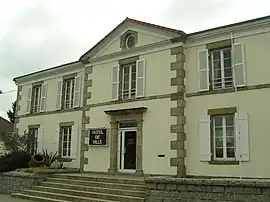 The town hall in Moncoutant | |
Location of Moncoutant-sur-Sèvre | |
 Moncoutant-sur-Sèvre 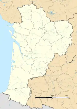 Moncoutant-sur-Sèvre | |
| Coordinates: 46°43′28″N 0°35′15″W / 46.7244°N 0.5875°W | |
| Country | France |
| Region | Nouvelle-Aquitaine |
| Department | Deux-Sèvres |
| Arrondissement | Bressuire |
| Canton | Cerizay |
| Intercommunality | CA Bocage Bressuirais |
| Government | |
| • Mayor (2020–2026) | Roland Moreau[1] |
| Area 1 | 92.78 km2 (35.82 sq mi) |
| Population | 5,085 |
| • Density | 55/km2 (140/sq mi) |
| Time zone | UTC+01:00 (CET) |
| • Summer (DST) | UTC+02:00 (CEST) |
| INSEE/Postal code | 79179 /79320 |
| Elevation | 153–247 m (502–810 ft) |
| 1 French Land Register data, which excludes lakes, ponds, glaciers > 1 km2 (0.386 sq mi or 247 acres) and river estuaries. | |
Moncoutant-sur-Sèvre (French pronunciation: [mɔ̃kutɑ̃ syʁ sɛvʁ], literally Moncoutant on Sèvre) is a commune in the Deux-Sèvres department in western France.
It was established on 1 January 2019 by merger of the former communes of Moncoutant (the seat), Le Breuil-Bernard, La Chapelle-Saint-Étienne, Moutiers-sous-Chantemerle, Pugny and Saint-Jouin-de-Milly.[3]
Population
| Year | Pop. | ±% p.a. |
|---|---|---|
| 1968 | 4,953 | — |
| 1975 | 4,933 | −0.06% |
| 1982 | 5,001 | +0.20% |
| 1990 | 5,096 | +0.24% |
| 1999 | 4,852 | −0.54% |
| 2007 | 4,874 | +0.06% |
| 2012 | 5,018 | +0.58% |
| 2017 | 5,046 | +0.11% |
| Source: INSEE[4] | ||
See also
References
- ↑ "Répertoire national des élus: les maires" (in French). data.gouv.fr, Plateforme ouverte des données publiques françaises. 6 June 2023.
- ↑ "Populations légales 2021". The National Institute of Statistics and Economic Studies. 28 December 2023.
- ↑ Arrêté préfectoral 23 November 2018 (in French)
- ↑ Population en historique depuis 1968, INSEE
Wikimedia Commons has media related to Moncoutant-sur-Sèvre.
This article is issued from Wikipedia. The text is licensed under Creative Commons - Attribution - Sharealike. Additional terms may apply for the media files.