| Missisa River | |
|---|---|
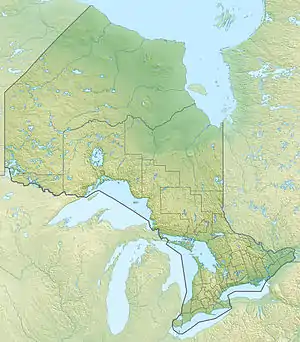 Location of the river mouth in Ontario | |
| Location | |
| Country | Canada |
| Province | Ontario |
| Region | Northwestern Ontario |
| District | Kenora |
| Physical characteristics | |
| Source | Missisa Lake |
| • coordinates | 52°15′21″N 85°04′37″W / 52.25583°N 85.07694°W |
| • elevation | 170 m (560 ft) |
| Mouth | Attawapiskat River |
• coordinates | 53°01′37″N 84°54′02″W / 53.02694°N 84.90056°W |
• elevation | 99 m (325 ft) |
| Basin features | |
| River system | James Bay drainage basin |
The Missisa River is a river in northeastern Kenora District in northwestern Ontario, Canada.[1] It is in the James Bay drainage basin and is a right tributary of the Attawapiskat River.
The Missisa River begins at Missisa Lake and flows north to its mouth at the Attawapiskat River, which flows to James Bay.
References
- ↑ "Missisa River". Geographical Names Data Base. Natural Resources Canada. Retrieved 2016-05-03.
Sources
- "Missisa River" at Atlas of Canada. Accessed 2016-05-03.
- Map 18 (PDF) (Map). 1 : 1,600,000. Official road map of Ontario. Ministry of Transportation of Ontario. 2014. Retrieved 2016-05-03.
This article is issued from Wikipedia. The text is licensed under Creative Commons - Attribution - Sharealike. Additional terms may apply for the media files.