Miramor
میرامور | |
|---|---|
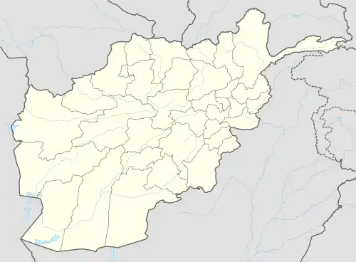
 Miramor Location within Afghanistan [1] | |
| Coordinates: 33°49′48″N 66°56′24″E / 33.83000°N 66.94000°E | |
| Country | Afghanistan |
| Province | Daykundi |
| Area | |
| • Total | 2,363 km2 (912 sq mi) |
| Population (2005) | |
| • Total | 78,506 |
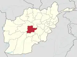
Miramor (Persian: میرامور), is a district in Daykundi province in central Afghanistan.[2] It was created in 2005 from former Shahristan district.
References
- ↑ "District Names". National Democratic Institute. Archived from the original on 29 January 2016. Retrieved 5 May 2015.
- ↑ "Daykundi Province ‐ Socio‐demographic and Economic Survey Highlights" (PDF). Central Statistics Organization of Afghanistan. Archived from the original (PDF) on 18 May 2015. Retrieved 5 May 2015.
External links
This article is issued from Wikipedia. The text is licensed under Creative Commons - Attribution - Sharealike. Additional terms may apply for the media files.
