Minna Airport | |||||||||||
|---|---|---|---|---|---|---|---|---|---|---|---|
| Summary | |||||||||||
| Airport type | Public | ||||||||||
| Owner/Operator | Federal Airports Authority of Nigeria (FAAN) | ||||||||||
| Serves | Minna, Nigeria | ||||||||||
| Elevation AMSL | 834 ft / 254 m | ||||||||||
| Coordinates | 9°39′05″N 6°27′40″E / 9.65139°N 6.46111°E | ||||||||||
| Map | |||||||||||
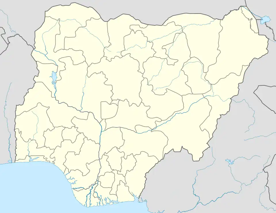 MXJ Location of the airport in Nigeria | |||||||||||
| Runways | |||||||||||
| |||||||||||
Minna Airport (IATA: MXJ, ICAO: DNMN) is an airport 10 kilometres (6.2 mi) northwest of Minna, the capital of Niger State in Nigeria.
Airlines and destinations
| Airlines | Destinations |
|---|---|
| Overland Airways | Abuja |
See also
References
- ↑ "Airport information for DNMN". World Aero Data. Archived from the original on 2019-03-05.
{{cite web}}: CS1 maint: unfit URL (link) Data current as of October 2006. Source: DAFIF. - ↑ Airport information for MXJ at Great Circle Mapper.
External links
- OurAirports - Minna
- SkyVector Aeronautical Charts
- Accident history for MXJ at Aviation Safety Network
This article is issued from Wikipedia. The text is licensed under Creative Commons - Attribution - Sharealike. Additional terms may apply for the media files.