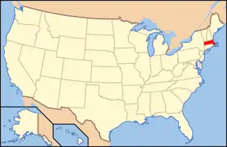
Middleborough Center Historic District | |
 Middleborough's town hall, located at the center of the district | |
  | |
| Location | Middleborough, Massachusetts |
|---|---|
| Coordinates | 41°53′32″N 70°54′43″W / 41.89222°N 70.91194°W |
| Area | 220 acres (89 ha) |
| NRHP reference No. | 00000685 [1] |
| Added to NRHP | June 15, 2000 |
The Middleborough Center Historic District is a historic district in Middleborough, Massachusetts, United States. It encompasses the center of the town, whose most significant period of growth was between about 1850 and 1920. It is roughly bounded by a former Conrail railroad line, Frank, Pierce, School, North Streets, Nemasket Road, and East Grove Street. The district covers 220 acres (89 ha), and includes about 500 buildings.[2] The district was added to the National Register of Historic Places in 2000.[1]
See also
References
- 1 2 "National Register Information System". National Register of Historic Places. National Park Service. April 15, 2008.
- ↑ "NRHP nomination for Middleborough Center Historic District". Commonwealth of Massachusetts. Retrieved May 28, 2014.
Wikimedia Commons has media related to Middleborough Center Historic District.
This article is issued from Wikipedia. The text is licensed under Creative Commons - Attribution - Sharealike. Additional terms may apply for the media files.
