McIntyre, Ohio | |
|---|---|
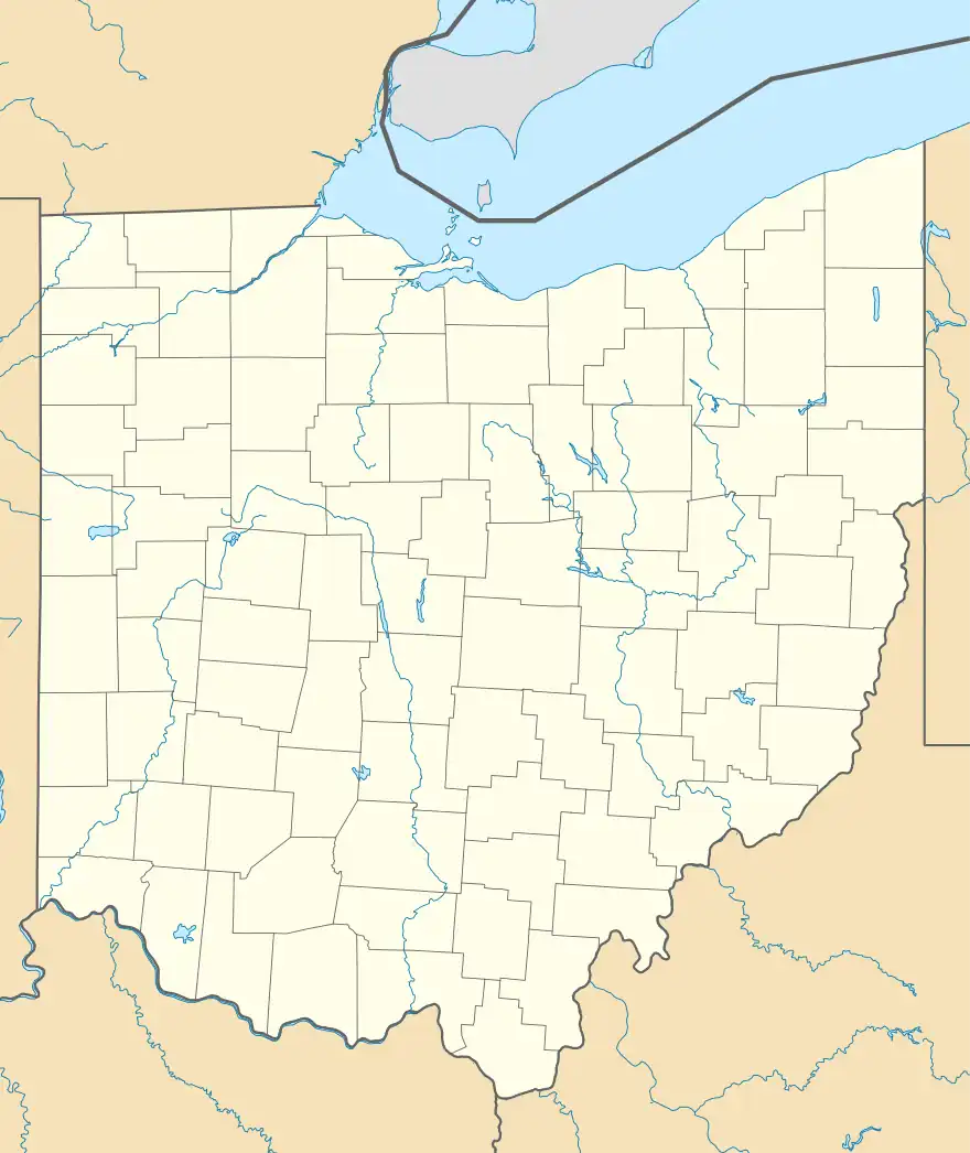 McIntyre, Ohio Location of McIntyre, Ohio | |
| Coordinates: 40°18′24″N 80°46′52″W / 40.30667°N 80.78111°W | |
| Country | United States |
| State | Ohio |
| Counties | Jefferson |
| Elevation | 1,135 ft (346 m) |
| Time zone | UTC-5 (Eastern (EST)) |
| • Summer (DST) | UTC-4 (EDT) |
| ZIP code | 43910 |
| Area code | 740 |
| GNIS feature ID | 1048959[1] |
McIntyre is an unincorporated community in Wayne Township, Jefferson County, Ohio, United States. It is located southeast of Bloomingdale and just east of Chandler along Township Road 191, at 40°18′24″N 80°46′52″W / 40.30667°N 80.78111°W.[2][3]
References
- 1 2 "US Board on Geographic Names". United States Geological Survey. 2007-10-25. Retrieved 2020-01-15.
- ↑ U.S. Geological Survey Geographic Names Information System: McIntyre, Ohio
- ↑ Rand McNally. The Road Atlas '06. Chicago: Rand McNally, 2006, 78.
Municipalities and communities of Jefferson County, Ohio, United States | ||
|---|---|---|
| Cities |  Map of Ohio highlighting Jefferson County | |
| Villages | ||
| Townships | ||
| CDPs | ||
| Other communities |
| |
| Footnotes | ‡This populated place also has portions in an adjacent county or counties | |
This article is issued from Wikipedia. The text is licensed under Creative Commons - Attribution - Sharealike. Additional terms may apply for the media files.