Mareuil-la-Motte | |
|---|---|
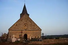 The church in Mareuil-la-Motte | |
Location of Mareuil-la-Motte | |
 Mareuil-la-Motte 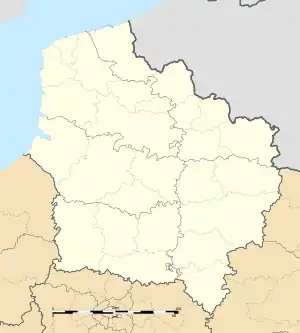 Mareuil-la-Motte | |
| Coordinates: 49°32′45″N 2°47′27″E / 49.5458°N 2.7908°E | |
| Country | France |
| Region | Hauts-de-France |
| Department | Oise |
| Arrondissement | Compiègne |
| Canton | Thourotte |
| Intercommunality | Pays des Sources |
| Government | |
| • Mayor (2020–2026) | Michèle Swynghedauw[1] |
| Area 1 | 9.17 km2 (3.54 sq mi) |
| Population | 608 |
| • Density | 66/km2 (170/sq mi) |
| Time zone | UTC+01:00 (CET) |
| • Summer (DST) | UTC+02:00 (CEST) |
| INSEE/Postal code | 60379 /60490 |
| Elevation | 63–188 m (207–617 ft) (avg. 83 m or 272 ft) |
| 1 French Land Register data, which excludes lakes, ponds, glaciers > 1 km2 (0.386 sq mi or 247 acres) and river estuaries. | |
Mareuil-la-Motte (French pronunciation: [maʁœj la mɔt]) is a commune in the Oise department in northern France.
Population
| Year | Pop. | ±% p.a. |
|---|---|---|
| 1968 | 313 | — |
| 1975 | 261 | −2.56% |
| 1982 | 364 | +4.87% |
| 1990 | 489 | +3.76% |
| 1999 | 587 | +2.05% |
| 2009 | 610 | +0.39% |
| 2014 | 644 | +1.09% |
| 2020 | 612 | −0.85% |
| Source: INSEE[3] | ||
See also
References
- ↑ "Répertoire national des élus: les maires". data.gouv.fr, Plateforme ouverte des données publiques françaises (in French). 9 August 2021.
- ↑ "Populations légales 2021". The National Institute of Statistics and Economic Studies. 28 December 2023.
- ↑ Population en historique depuis 1968, INSEE
Wikimedia Commons has media related to Mareuil-la-Motte.
This article is issued from Wikipedia. The text is licensed under Creative Commons - Attribution - Sharealike. Additional terms may apply for the media files.