Mammoth, Wyoming | |
|---|---|
 Mammoth at dawn | |
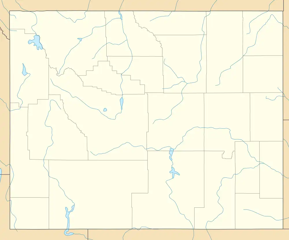
 Mammoth Location within the state of Wyoming | |
| Coordinates: 44°58′36″N 110°42′06″W / 44.97667°N 110.70167°W | |
| Country | United States |
| State | Wyoming |
| County | Park |
| Area | |
| • Total | 0.788 sq mi (2.04 km2) |
| • Land | 0.788 sq mi (2.04 km2) |
| • Water | 0 sq mi (0 km2) |
| Population | |
| • Total | 263 |
| • Density | 330/sq mi (130/km2) |
| Time zone | UTC-7 (Mountain (MST)) |
| • Summer (DST) | UTC-6 (MDT) |
| ZIP codes | 82190 |
| GNIS feature ID | 1591192[3] |
Mammoth is a census-designated place in Park County, Wyoming, United States, comprising Fort Yellowstone and Mammoth Hot Springs in Yellowstone National Park. As of the 2010 census, its population was 263.[2]
Some students from Mammoth attend Gardiner Public Schools in Gardiner, Montana.[4]
Climate
| Climate data for Mammoth | |||||||||||||
|---|---|---|---|---|---|---|---|---|---|---|---|---|---|
| Month | Jan | Feb | Mar | Apr | May | Jun | Jul | Aug | Sep | Oct | Nov | Dec | Year |
| Mean daily maximum °F (°C) | 30 (−1) |
34 (1) |
41 (5) |
50 (10) |
60 (16) |
70 (21) |
81 (27) |
79 (26) |
68 (20) |
55 (13) |
39 (4) |
30 (−1) |
53 (12) |
| Mean daily minimum °F (°C) | 11 (−12) |
13 (−11) |
19 (−7) |
27 (−3) |
35 (2) |
42 (6) |
49 (9) |
47 (8) |
39 (4) |
30 (−1) |
20 (−7) |
12 (−11) |
29 (−2) |
| Average snowfall inches (cm) | 11.6 (29) |
9.2 (23) |
10.7 (27) |
6.5 (17) |
2 (5.1) |
0.2 (0.51) |
0 (0) |
0 (0) |
0.3 (0.76) |
3.4 (8.6) |
10.7 (27) |
11.7 (30) |
66.3 (167.97) |
See also
References
- ↑ "US Gazetteer files: 2010, 2000, and 1990". United States Census Bureau. February 12, 2011. Retrieved April 23, 2011.
- 1 2 "U.S. Census website". United States Census Bureau. Retrieved May 14, 2011.
- ↑ "Mammoth, Wyoming". Geographic Names Information System. United States Geological Survey, United States Department of the Interior. Retrieved October 17, 2012.
- ↑ "About". Gardiner Public Schools. Retrieved January 19, 2020.
This article is issued from Wikipedia. The text is licensed under Creative Commons - Attribution - Sharealike. Additional terms may apply for the media files.
