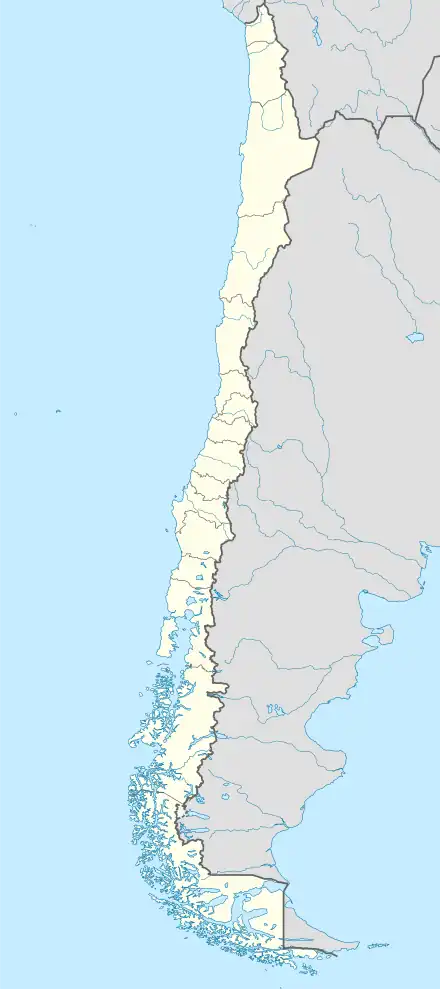
Native name: Isla Madre de Dios | |
|---|---|
 Madre de Dios Island | |
| Geography | |
| Coordinates | 50°06′10″S 75°14′38″W / 50.10278°S 75.24389°W |
| Adjacent to | Pacific ocean |
| Area | 1,043 km2 (403 sq mi) |
| Coastline | 549.5 km (341.44 mi) |
| Administration | |
| Region | Magallanes |
| Additional information | |
| NGA UFI=-891233 | |
Madre de Dios Island (Spanish: Isla Madre de Dios, Spanish pronunciation: [ˈmaðɾe ðe ðjos]) is an uninhabited island in the Magallanes Region, Chile. It is located west of the Trinidad Channel and Concepción Channel. Madre de Dios Island is composed partly of limestone and has several natural caves. In one of those caves, called the "Cave of the Whales", skeletons of whales 2600 to 3500 years old have been discovered 10 to 30 meters above sea level. In another cave, named Cueva del Pacifico, rock art was discovered in 2006. Many other caves near the coast were used by the indigenous Kaweskar people for burial. One skull found dates back to 4500 years ago. Some caves were used as temporary camps. The island, along with 53 smaller nearby islands, was protected as a nature reserve (Bien Nacional Protegido) in 2007.[1]
The island obtained its current name from a map in Alonso de Ovalle's work Histórica relación del reino de Chile which was published in 1646 in Italy. Apparently Alonso de Ovalle had based this name on the exploration of Pedro Sarmiento de Gamboa's expedition in the area in 1579. Pedro Sarmiento de Gamboa had called a cove from where he made observations Nuestra Señora (del Rosario), and from this name Alonso de Ovalle elaborated it to Madre de Dios and extended it to name a whole island.[2]
See also
References
- ↑ "Bienes Nacionales postula a Archipiélago "Madre de Dios" a convertirse en el primer Patrimonio de la Humanidad Natural de Chile". Ministerio de Bienes Nacionales. 5 March 2019.
- ↑ Urbina Carrasco, María Ximena (2017). "La isla Madre de Dios (costa del Pacífico austral) en los siglos XVII y XVIII: circulación de la información e intereses geopolíticos de España e Inglaterra" [Madre de Dios Island (southern Pacific Coast) during the 17th and 18th Centuries: The Flow of Information and Geopolitical Interests of Spain and England]. Vegueta. Anuario de la Facultad de Geografía e Historia (in Spanish). 17: 545–567.
External links
- Islands of Chile @ United Nations Environment Programme
- World island information @ WorldIslandInfo.com
- South America Island High Points above 1000 meters
- United States Hydrographic Office, South America Pilot (1916)
- French expedition to Isla Madre de Dios
- Le Mystère de la Baleine, a film by Luc-Henri Fage, 52 min., GEDEON, 2009.
- L'île aux Glaciers de Marbre, Georges Marbach & al, Centre Terre publisher, Toulouse 2012.
- National Geographic article
- Photos of Isla Madre de Dios