Mały Płock | |
|---|---|
Village | |
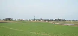 Mały Płock seen from a distance | |
 Mały Płock | |
| Coordinates: 53°18′N 22°1′E / 53.300°N 22.017°E | |
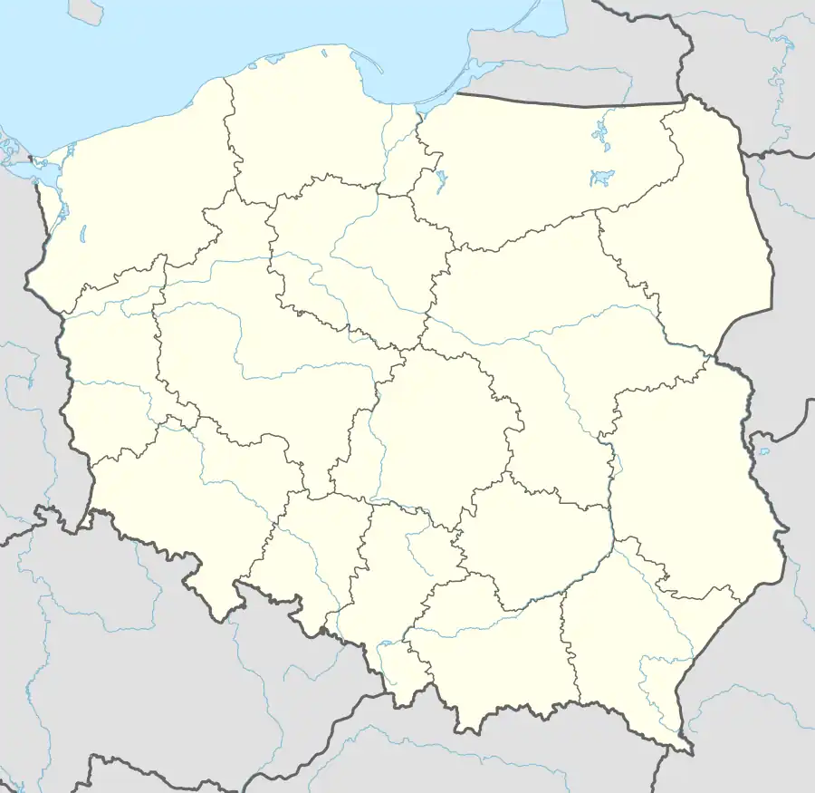
| Country | |
| Voivodeship | Podlaskie |
| County | Kolno |
| Gmina | Mały Płock |
| Population | 1,051 |
| Website | http://www.malyplock.pl/ |
Mały Płock [ˈmawɨ ˈpwɔt͡sk] is a village in Kolno County, Podlaskie Voivodeship, in north-eastern Poland.[1] It is the seat of the gmina (administrative district) called Gmina Mały Płock. It lies approximately 14 kilometres (9 mi) south-east of Kolno and 80 km (50 mi) west of the regional capital Białystok.
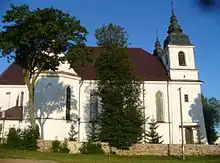
The Church of the Finding of the True Cross in Mały Płock
References
Wikimedia Commons has media related to Mały Płock.
| Seat | ||
|---|---|---|
| Other villages | ||
This article is issued from Wikipedia. The text is licensed under Creative Commons - Attribution - Sharealike. Additional terms may apply for the media files.