Lower Elochoman, Washington | |
|---|---|
| Coordinates: 46°13′7″N 123°22′11″W / 46.21861°N 123.36972°W | |
| Country | United States |
| State | Washington |
| County | Wahkiakum |
| Elevation | 108 ft (33 m) |
| Population (2010) | |
| • Total | 185 |
| Time zone | UTC-8 (Pacific (PST)) |
| • Summer (DST) | UTC-7 (PDT) |
| ZIP code | 98612[1] |
| Area code | 360 |
Lower Elochoman is a census-designated place (CDP) in Wahkiakum County, Washington, United States. The population was 185 at the 2010 census.[2]
References
- ↑ "Lower Elochoman WA ZIP Code". zipdatamaps.com. 2023. Retrieved June 16, 2023.
- ↑ "U.S. Census website". United States Census Bureau. Retrieved May 14, 2011.
Municipalities and communities of Wahkiakum County, Washington, United States | ||
|---|---|---|
| Town | 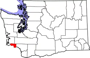 Map of Washington highlighting Wahkiakum County | |
| CDPs | ||
| Other communities | ||
| ||
This article is issued from Wikipedia. The text is licensed under Creative Commons - Attribution - Sharealike. Additional terms may apply for the media files.