Lieren | |
|---|---|
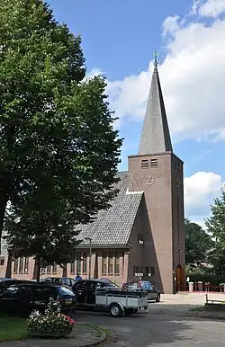 The church in Lieren | |
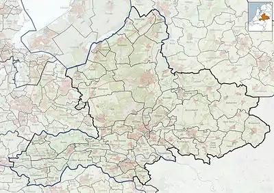
 Location of Lieren in the municipality of Apeldoorn (the urban area of Beekbergen is red and the rural area is pink) | |
 Lieren Location of Lieren in Gelderland 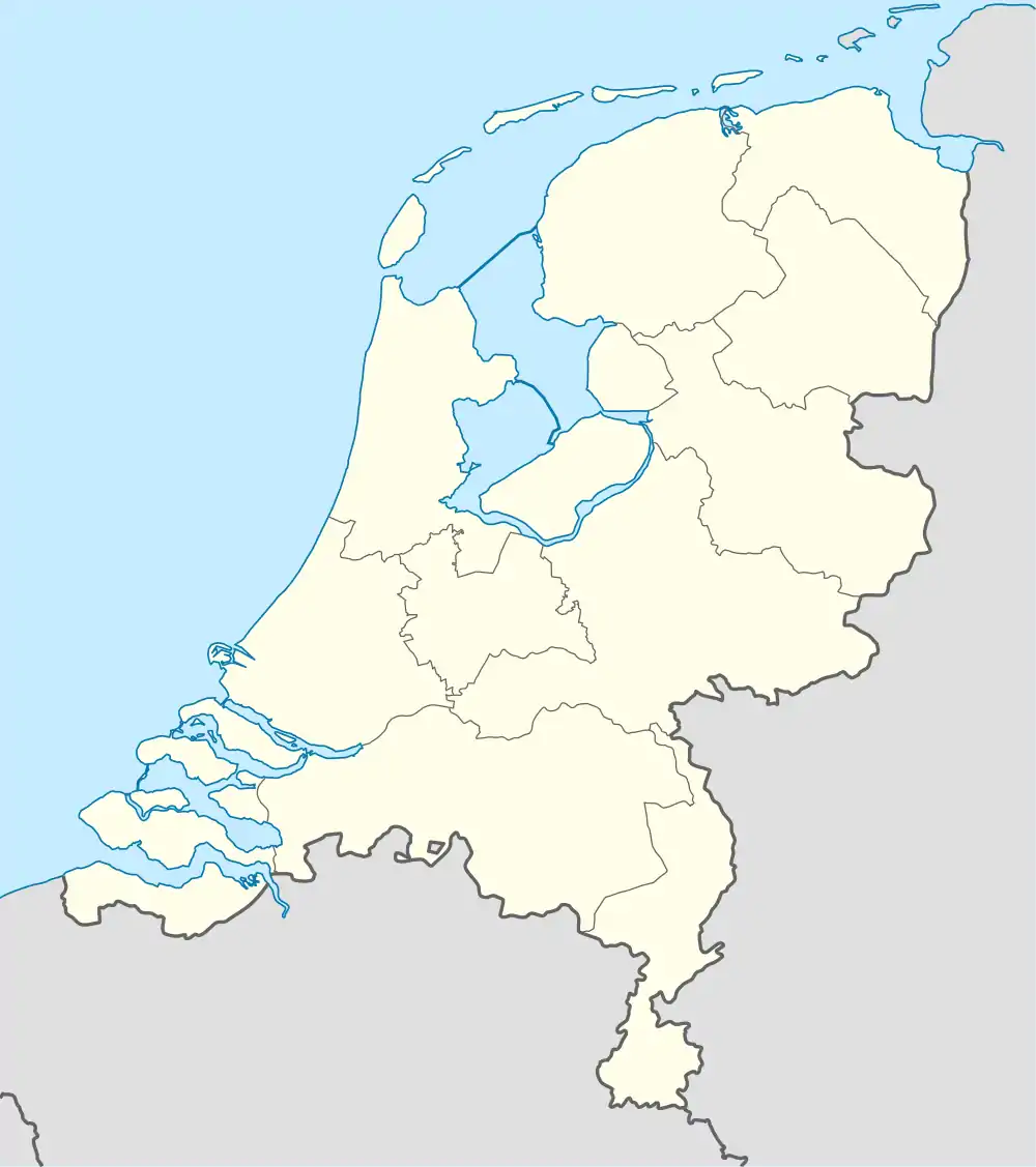 Lieren Lieren (Netherlands) | |
| Coordinates: 52°9′44″N 5°59′20″E / 52.16222°N 5.98889°E | |
| Country | Netherlands |
| Province | Gelderland |
| Municipality | Apeldoorn |
| Area | |
| • Total | 3.75 km2 (1.45 sq mi) |
| Elevation | 15 m (49 ft) |
| Population (2021)[1] | |
| • Total | 1,130 |
| • Density | 300/km2 (780/sq mi) |
| Time zone | UTC+1 (CET) |
| • Summer (DST) | UTC+2 (CEST) |
| Postal code | 7364[1] |
| Dialing code | 055 |
Lieren is a village in the Netherlands and part of the municipality of Apeldoorn. It is situated about 8 km ( 5 miles) south-east of the city centre of Apeldoorn and 2 km east of Beekbergen.
Despite its size, Lieren has a primary school, a bakery and a few DIY-stores. Most of its income come from tourism, with the Veluwe close at hand and multiple camping sites nearby. Also, a steam-train station belonging to the VSM attracts many tourists.
Once in every 3 years, the Uutbuurt takes place in Lieren. This is an event at which almost the whole village is present. At this event local bands and artists perform.[3]
Gallery
 Draw bridge
 Houses in Lieren
.jpg.webp) Steam train
Steam train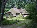 Farm in the forest
References
- 1 2 3 "Kerncijfers wijken en buurten 2021". Central Bureau of Statistics. Retrieved 13 April 2022.
two entries overlap with Oosterhuizen
- ↑ "Postcodetool for 7364AA". Actueel Hoogtebestand Nederland (in Dutch). Het Waterschapshuis. Retrieved 13 April 2022.
- ↑ "Uutbuurt van Darpsproat in Lieren biedt gevarieerde optredens". Regiobode Online (in Dutch). Retrieved 13 April 2022.
Wikimedia Commons has media related to Lieren.
This article is issued from Wikipedia. The text is licensed under Creative Commons - Attribution - Sharealike. Additional terms may apply for the media files.