Lee Bottom Airport (Lee Bottom Flying Field) | |||||||||||
|---|---|---|---|---|---|---|---|---|---|---|---|
| Summary | |||||||||||
| Airport type | Privately Owned, Public Use[1] | ||||||||||
| Owner | Rich and Ginger Davidson[1] | ||||||||||
| Location | Hanover, Indiana | ||||||||||
| Elevation AMSL | 470 ft / 143 m | ||||||||||
| Coordinates | 38°37′53″N 085°26′36″W / 38.63139°N 85.44333°W | ||||||||||
| Website | Lee Bottom Airport | ||||||||||
| Map | |||||||||||
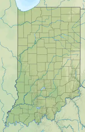 64I Location of airport in Indiana | |||||||||||
| Runways | |||||||||||
| |||||||||||
Lee Bottom Airport (FAA LID: 64I) is a privately owned and public use airport 6 miles (9.7 km) south of Hanover, in Jefferson County, Indiana. The airport was re-opened in April 1991.[2]
See also
References
- 1 2 "Airport Information". Archived from the original on July 29, 2010. Retrieved February 24, 2020.
- ↑ "Lee Bottom Airport". AirNav.
External links
Lee Bottom Flying Field at YouTube (Journey Indiana interview with owners)
This article is issued from Wikipedia. The text is licensed under Creative Commons - Attribution - Sharealike. Additional terms may apply for the media files.