Le Donzeil | |
|---|---|
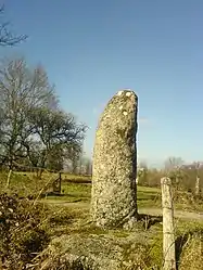 A milestone in Le Donzeil | |
Location of Le Donzeil | |
 Le Donzeil 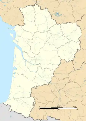 Le Donzeil | |
| Coordinates: 46°01′43″N 1°59′14″E / 46.0286°N 1.9872°E | |
| Country | France |
| Region | Nouvelle-Aquitaine |
| Department | Creuse |
| Arrondissement | Guéret |
| Canton | Ahun |
| Intercommunality | CC Creuse Sud Ouest |
| Government | |
| • Mayor (2020–2026) | Bruno Clochon[1] |
| Area 1 | 13.54 km2 (5.23 sq mi) |
| Population | 187 |
| • Density | 14/km2 (36/sq mi) |
| Time zone | UTC+01:00 (CET) |
| • Summer (DST) | UTC+02:00 (CEST) |
| INSEE/Postal code | 23074 /23480 |
| Elevation | 508–620 m (1,667–2,034 ft) (avg. 564 m or 1,850 ft) |
| 1 French Land Register data, which excludes lakes, ponds, glaciers > 1 km2 (0.386 sq mi or 247 acres) and river estuaries. | |
Le Donzeil (French pronunciation: [lə dɔ̃zɛj]; Occitan: Sent Saupise le Donselh) is a commune in the Creuse department in the Nouvelle-Aquitaine region in central France.
Geography
An area of lakes, forestry and farming comprising a small village and several hamlets, situated some 10 miles (16 km) northwest of Aubusson, at the junction of the D13, D17 and the D45 roads.
Population
| Year | Pop. | ±% |
|---|---|---|
| 1962 | 235 | — |
| 1968 | 283 | +20.4% |
| 1975 | 238 | −15.9% |
| 1982 | 210 | −11.8% |
| 1990 | 197 | −6.2% |
| 1999 | 188 | −4.6% |
| 2008 | 159 | −15.4% |
Sights
See also
References
- ↑ "Répertoire national des élus: les maires" (in French). data.gouv.fr, Plateforme ouverte des données publiques françaises. 13 September 2022.
- ↑ "Populations légales 2021". The National Institute of Statistics and Economic Studies. 28 December 2023.
Wikimedia Commons has media related to Le Donzeil.
This article is issued from Wikipedia. The text is licensed under Creative Commons - Attribution - Sharealike. Additional terms may apply for the media files.