Lampaul-Plouarzel
Lambaol-Blouarzhel | |
|---|---|
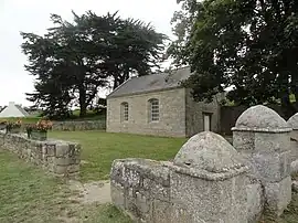 The Chapel of Saint-Egarec, in Lampaul-Plouarzel | |
Location of Lampaul-Plouarzel | |
 Lampaul-Plouarzel 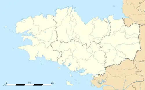 Lampaul-Plouarzel | |
| Coordinates: 48°26′59″N 4°45′55″W / 48.4497°N 4.7653°W | |
| Country | France |
| Region | Brittany |
| Department | Finistère |
| Arrondissement | Brest |
| Canton | Saint-Renan |
| Intercommunality | Pays d'Iroise |
| Government | |
| • Mayor (2020–2026) | Michel Jourden[1] |
| Area 1 | 4.04 km2 (1.56 sq mi) |
| Population | 2,153 |
| • Density | 530/km2 (1,400/sq mi) |
| Time zone | UTC+01:00 (CET) |
| • Summer (DST) | UTC+02:00 (CEST) |
| INSEE/Postal code | 29098 /29810 |
| Elevation | 0–60 m (0–197 ft) |
| 1 French Land Register data, which excludes lakes, ponds, glaciers > 1 km2 (0.386 sq mi or 247 acres) and river estuaries. | |
Lampaul-Plouarzel (French pronunciation: [lɑ̃pɔl pluaʁzɛl]; Breton: Lambaol-Blouarzhel) is a commune in the Finistère department in Brittany in northwestern France.
Population
Inhabitants of Lampaul-Plouarzel are called in French Lampaulais.
| Year | Pop. | ±% p.a. |
|---|---|---|
| 1968 | 1,464 | — |
| 1975 | 1,482 | +0.17% |
| 1982 | 1,583 | +0.95% |
| 1990 | 1,662 | +0.61% |
| 1999 | 1,766 | +0.68% |
| 2007 | 2,053 | +1.90% |
| 2012 | 2,060 | +0.07% |
| 2017 | 2,111 | +0.49% |
| Source: INSEE[3] | ||
See also
References
- ↑ "Répertoire national des élus: les maires". data.gouv.fr, Plateforme ouverte des données publiques françaises (in French). 9 August 2021.
- ↑ "Populations légales 2021". The National Institute of Statistics and Economic Studies. 28 December 2023.
- ↑ Population en historique depuis 1968, INSEE
External links
Wikimedia Commons has media related to Lampaul-Plouarzel.
- Official website (in French)
- Mayors of Finistère Association (in French)
This article is issued from Wikipedia. The text is licensed under Creative Commons - Attribution - Sharealike. Additional terms may apply for the media files.