| Lake Wauburg | |
|---|---|
| Lake Wauberg | |
 Lake Wauburg | |
 Lake Wauburg | |
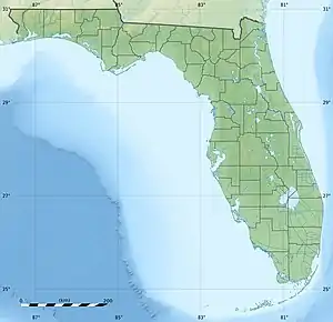
| Location | Alachua County, Florida |
| Coordinates | 29°31′48″N 82°18′11″W / 29.530°N 82.303°W |
| Type | lake |
| Surface area | 1.6 square kilometres (0.62 sq mi) |
| Max. depth | 3 metres (9.8 ft) |
| Shore length1 | 5 kilometres (3.1 mi) |
| 1 Shore length is not a well-defined measure. | |
Lake Wauburg[1] (sometimes spelled Wauberg)[2] is located just south of Paynes Prairie in central Alachua County, Florida, United States.
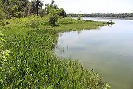
The lake is in the Ocala Uplift District, situated between the forested highlands of the Fairfield Hills area and the surrounding dissolution valleys of the Alachua Prairies. Lake Wauburg is irregular in shape, covering 1.6 square kilometres (0.62 sq mi) with about 5 kilometres (3.1 mi) of shoreline. The fertile green water supports shad and a deep grass line is good to hold fish. It had a maximum depth of 3 metres (9.8 ft) and offers excellent Black Crappie and Bass fishing. The lake is adjoined to the east by Sawgrass Pond. A marshy area to the northwest is separated from the lake by a topographic high. The north end of the Lake is owned by the University of Florida and is operated as a recreation facility for students and faculty. The southern edge is boarded by Paynes Prairie Preserve State Park, which allows public access to the lake and a boat launch. Outboard motors are prohibited on the lake but trolling motors and paddle boats are permitted.
References
- ↑ "Lake Wauburg | Outdoor Recreation | University of Florida Department of Recreational Sports". RecSports. University of Florida. Retrieved November 29, 2018.
- ↑ "Subsurface Characterization of Selected Water Bodies in the St Johns River Water Management District, Northeast Florida". Coastal & Marine Geology Program. USGS. Retrieved November 29, 2018.