Suddhodhan Rural municipality (Kapilvastu)
Labani
लाबनी | |
|---|---|
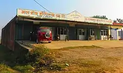 Al Shaikh Hospital in Labani village | |
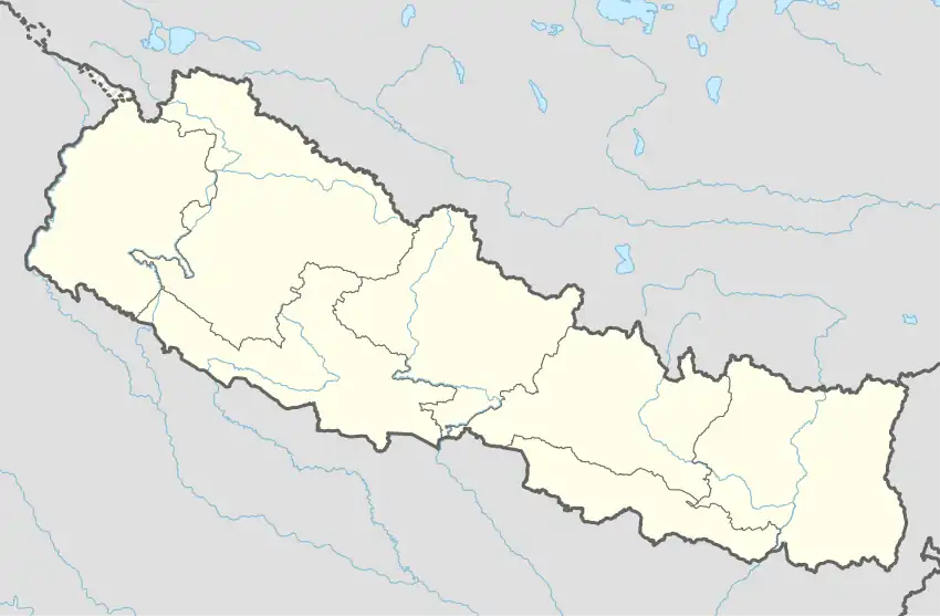 Labani Location in Nepal | |
| Coordinates: 27°31′N 83°13′E / 27.51°N 83.21°E | |
| Country | |
| Zone | Lumbini Zone |
| District | Kapilvastu District |
| Government | |
| • Type | Nepal communist party |
| • Mayor | Kamlesh Choudhary |
| Population (2021) | |
| • Total | 45,201 |
| Time zone | UTC+5:45 (Nepal Time) |
| Area code | 32800 |
Labani is a village development committee in Kapilvastu District in the Lumbini Zone of southern Nepal. VDC (Ward) Name was Suddhodhan Rural municipality. They Total area (91.69 km). It is located on Taulihawa Road, 7 kilometres (4.3 mi) west of Lumbini. Current population of 45201 people in 2021 .[1]
References
- ↑ "Nepal Census 2001". Nepal's Village Development Committees. Digital Himalaya. Archived from the original on 12 October 2008. Retrieved 14 December 2008.

This article is issued from Wikipedia. The text is licensed under Creative Commons - Attribution - Sharealike. Additional terms may apply for the media files.