Längenfeld | |
|---|---|
 | |
 Coat of arms | |
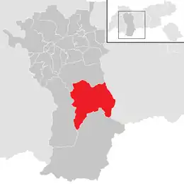 Location in the district | |
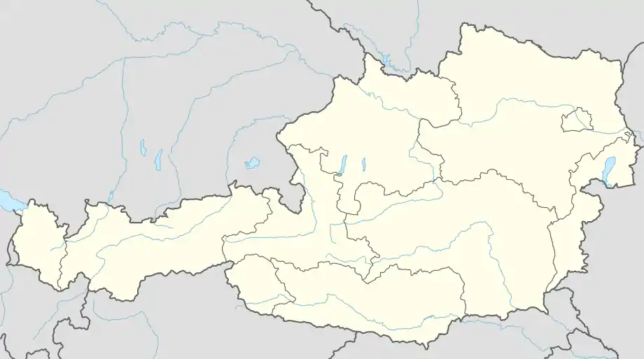 Längenfeld Location within Austria | |
| Coordinates: 47°04′00″N 10°58′00″E / 47.06667°N 10.96667°E | |
| Country | Austria |
| State | Tyrol |
| District | Imst |
| Government | |
| • Mayor | Richard Grüner (Team Längenfeld) |
| Area | |
| • Total | 195.84 km2 (75.61 sq mi) |
| Elevation | 1,179 m (3,868 ft) |
| Population (2018-01-01)[2] | |
| • Total | 4,611 |
| • Density | 24/km2 (61/sq mi) |
| Time zone | UTC+1 (CET) |
| • Summer (DST) | UTC+2 (CEST) |
| Postal code | 6444 |
| Area code | 05253 |
| Vehicle registration | IM |
| Website | www.laengenfeld.tirol.gv.at |
Längenfeld is a municipality and a village the Imst (district) and is located 25 km southeast of Imst in the Ötztal valley, 14 km north of Sölden.
With an area size of 195.8 km2, 21 village parts and 4333 inhabitants it is the biggest location in the valley. Sights are the late Gothic-baroque church which was built in 1303. The main source of income is tourism.
Population
| Year | Pop. | ±% |
|---|---|---|
| 1869 | 1,477 | — |
| 1880 | 1,485 | +0.5% |
| 1890 | 1,320 | −11.1% |
| 1900 | 1,262 | −4.4% |
| 1910 | 1,317 | +4.4% |
| 1923 | 1,424 | +8.1% |
| 1934 | 1,669 | +17.2% |
| 1939 | 1,700 | +1.9% |
| 1951 | 1,963 | +15.5% |
| 1961 | 2,314 | +17.9% |
| 1971 | 2,838 | +22.6% |
| 1981 | 3,146 | +10.9% |
| 1991 | 3,493 | +11.0% |
| 2001 | 4,063 | +16.3% |
| 2011 | 4,379 | +7.8% |
Gallery
 Panorama to Astlehn from Oberlängenfeld
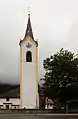 Church in Huben
 Chapel (Kapelle Mariahilf) in Dorf
 Boulders near the Waldwegbrücke in Aschbach
 Ötztaler Ache in Aschbach
 Ötztaler Ache between Längenfeld and Umhausen
References
- ↑ "Dauersiedlungsraum der Gemeinden Politischen Bezirke und Bundesländer - Gebietsstand 1.1.2018". Statistics Austria. Retrieved 10 March 2019.
- ↑ "Einwohnerzahl 1.1.2018 nach Gemeinden mit Status, Gebietsstand 1.1.2018". Statistics Austria. Retrieved 9 March 2019.
External links
![]() Media related to Längenfeld at Wikimedia Commons
Media related to Längenfeld at Wikimedia Commons
This article is issued from Wikipedia. The text is licensed under Creative Commons - Attribution - Sharealike. Additional terms may apply for the media files.