Kur Island
Pulau-Pulau Kur | |
|---|---|
.JPG.webp) Landsat 7 photograph of Kur | |
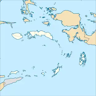 Kur Island Location in Maluku Islands 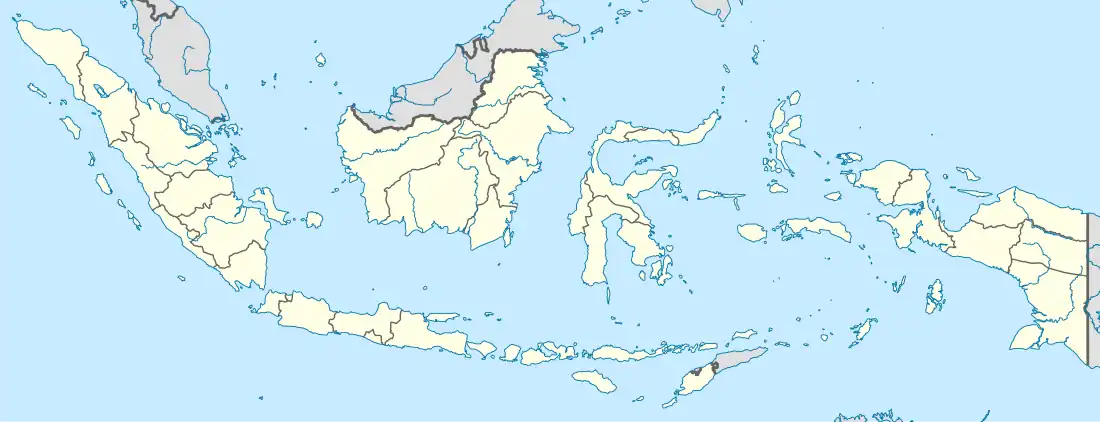 Kur Island Location in Indonesia | |
| Coordinates: 5°20′38″S 131°59′35″E / 5.344°S 131.993°E | |
| Country | Indonesia |
| Province | Maluku |
| City | Tual |
| Government | |
| • Head of district | Lajania Madamar |
| Area | |
| • Total | 26.69 km2 (10.31 sq mi) |
| Population (mid 2021 estimate)[1] | |
| • Total | 4,807 |
| • Density | 180/km2 (500/sq mi) |
| Time zone | UTC+9 (IEST) |
| Postcode | 97615 |
| Area code | (+62) 916 |
| Villages | 5 |
Kur is an island of Indonesia, located to the northwest of the Kei Islands but forming (with other small islands further north and south of Kur Island) two administrative districts (kecamatan) - Pulau-Pulau Kur and Kur Selatan - which are part of the City of Tual in Maluku province. The island itself has an area of 26.69 km2 with 4,807 inhabitants as at mid 2021, while the other islands within the two districts had an area of 21.64 km2 with 1,665 inhabitants (all on Mangur and Kaimear islands) in mid 2021.[2]
Administrative villages
Kur Island contains 9 villages (desa) within the two districts. Finualen, Tubyal, Lokwirin and Sermaf villages in the north half of the island are within Pulau-Pulau Kur District, with an area of 14.23 km2 and 2,142 inhabitants in 2021. Kanara, Warkar, Yapas, Romoin and Hirit villages in the south half of the island are within Kur Selatan District, with an area of 12.46 km2 and 2,665 inhabitants in 2021.
In addition, Pulau-Pulau Kur District includes a fifth village - Kaimear - on the island of the same name, with 667 inhabitants in 2021. Kanos and Bui islands even further north are uninhabited. Kur Selatan District includes two further villages on Mangur Island - Mangur Niela with 575 inhabitants in 2021, and Tiflean with 423 inhabitants in 2021.[3]
References
- ↑ "Badan Pusat Statistik Kota Tual" (in Indonesian). 24 September 2021. ISBN 978-602-52575-5-1. Retrieved 13 March 2022.
- ↑ Badan Pusat Statistik, Jakarta, 2022.
- ↑ Badan Pusat Statistik, Jakarta, 2022.
External links
 Media related to Kur Island at Wikimedia Commons
5°20′38″S 131°59′35″E / 5.344°S 131.993°E