
Kunisaki Peninsula
Location of Kunisaki Peninsula

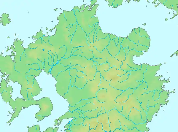
Relief map of Kunisaki Peninsula
Kunisaki Peninsula (Japanese: 国東半島) is a peninsula in Oita prefecture that juts out into the Seto Inland Sea.[1] The peninsula is almost circular. There is Mount Futago in the central part of the peninsula.[2]
Municipalities in the peninsula
References
- ↑ "くにさきはんとう【国東半島】 | く | 辞典". 学研キッズネット (in Japanese). Retrieved 2021-05-25.
- ↑ 第2版, 日本大百科全書(ニッポニカ),デジタル大辞泉,ブリタニカ国際大百科事典 小項目事典,百科事典マイペディア,精選版 日本国語大辞典,世界大百科事典. "国東半島とは". コトバンク (in Japanese). Retrieved 2021-05-25.
{{cite web}}: CS1 maint: multiple names: authors list (link) CS1 maint: numeric names: authors list (link)
33°32′N 131°36′E / 33.533°N 131.600°E
This article is issued from Wikipedia. The text is licensed under Creative Commons - Attribution - Sharealike. Additional terms may apply for the media files.