Kotakoli Air Base | |||||||||||
|---|---|---|---|---|---|---|---|---|---|---|---|
| Summary | |||||||||||
| Airport type | Military | ||||||||||
| Location | Kotakoli, Democratic Republic of the Congo | ||||||||||
| Elevation AMSL | 1,800 ft / 549 m | ||||||||||
| Coordinates | 4°09′17″N 21°39′46″E / 4.15472°N 21.66278°E | ||||||||||
| Map | |||||||||||
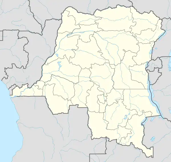 FZFP Location within DRC | |||||||||||
| Runways | |||||||||||
| |||||||||||
Kotakoli Air Base (IATA: KLI, ICAO: FZFP) is a military airport at Kotakoli, a town in the Nord-Ubangi Province, Democratic Republic of the Congo.
The Kotakoli non-directional beacon (Ident: KOT) is 6.0 nautical miles (11.1 km) east of the airport.[3]
See also
References
- ↑ Airport information for FZFP[usurped] from DAFIF (effective October 2006)
- ↑ Airport information for Kotakoli Airport at Great Circle Mapper.
- ↑ "Kotakoli NDB (KOT) @ OurAirports". ourairports.com. Retrieved 2018-08-20.
External links
- Accident history for FZFP at Aviation Safety Network
- OpenStreetMap - Kotakoli Air Base
- Google Maps - Kotakoli
This article is issued from Wikipedia. The text is licensed under Creative Commons - Attribution - Sharealike. Additional terms may apply for the media files.