Kishkenekol | |
|---|---|
 Kishkenekol | |
| Coordinates: 53°38′22″N 72°20′38″E / 53.63944°N 72.34389°E | |
| Country | |
| Regione | North Kazakhstan Region |
| District | Ualikhanov District |
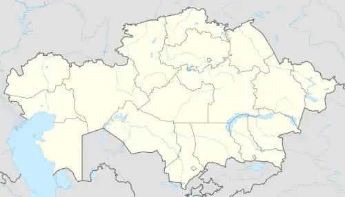
Kishkenekol (Kazakh: Кішкенекөл, Kışkeneköl, lit. "small lake") is the administrative center of Ualikhanov District, North Kazakhstan Region. Its population is about 6,000 people. Kishkenekol is also known as Kzyltu, which was its old name during the Soviet Union era. Initially, as the town was settled, it was given the name of Kishkenekol. The name was given because of the lake adjacent to the town.
Climate
| Climate data for Kishkenekol (1991–2020) | |||||||||||||
|---|---|---|---|---|---|---|---|---|---|---|---|---|---|
| Month | Jan | Feb | Mar | Apr | May | Jun | Jul | Aug | Sep | Oct | Nov | Dec | Year |
| Mean daily maximum °C (°F) | −12.9 (8.8) |
−10.9 (12.4) |
−2.9 (26.8) |
11.1 (52.0) |
20.5 (68.9) |
25.4 (77.7) |
26.4 (79.5) |
24.5 (76.1) |
17.9 (64.2) |
9.4 (48.9) |
−2.7 (27.1) |
−9.8 (14.4) |
8.0 (46.4) |
| Daily mean °C (°F) | −17.3 (0.9) |
−15.5 (4.1) |
−7.6 (18.3) |
5.0 (41.0) |
13.5 (56.3) |
19.0 (66.2) |
20.3 (68.5) |
18.2 (64.8) |
11.5 (52.7) |
4.0 (39.2) |
−6.8 (19.8) |
−14.1 (6.6) |
2.5 (36.5) |
| Mean daily minimum °C (°F) | −21.4 (−6.5) |
−19.8 (−3.6) |
−12.0 (10.4) |
−0.2 (31.6) |
6.8 (44.2) |
12.8 (55.0) |
14.8 (58.6) |
12.5 (54.5) |
6.2 (43.2) |
−0.5 (31.1) |
−10.5 (13.1) |
−18.2 (−0.8) |
−2.5 (27.5) |
| Average precipitation mm (inches) | 14.8 (0.58) |
12.3 (0.48) |
13.4 (0.53) |
19.3 (0.76) |
25.4 (1.00) |
39.6 (1.56) |
55.5 (2.19) |
45.1 (1.78) |
22.1 (0.87) |
21.8 (0.86) |
21.4 (0.84) |
18.2 (0.72) |
308.9 (12.16) |
| Average precipitation days (≥ 1.0 mm) | 4.8 | 3.9 | 3.5 | 4.5 | 5.4 | 6.0 | 8.2 | 6.8 | 4.6 | 5.7 | 5.7 | 5.8 | 64.9 |
| Source: NOAA[1] | |||||||||||||
References
- ↑ "World Meteorological Organization Climate Normals for 1991-2020 — Kishkenekol". National Oceanic and Atmospheric Administration. Retrieved January 2, 2024.
Capital: Petropavl | ||
| Districts |  | |
| Major cities | ||
53°38′22″N 72°20′38″E / 53.63944°N 72.34389°E
This article is issued from Wikipedia. The text is licensed under Creative Commons - Attribution - Sharealike. Additional terms may apply for the media files.