| Keller Lake | |
|---|---|
 Keller Lake | |
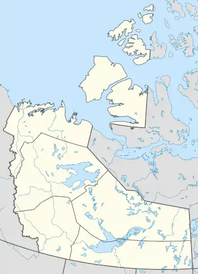
| Location | Northwest Territories |
| Coordinates | 63°55′37″N 121°33′32″W / 63.927°N 121.559°W |
| Primary outflows | Johnny Hoe River |
| Basin countries | Canada |
| Max. length | 26 kilometers (16 mi) (N-S) |
| Max. width | 25 kilometers (16 mi) (E-W) |
| Surface area | 380 square kilometers (150 sq mi) |
| Surface elevation | 255 meters (837 ft) |
Keller Lake is a surface water body in the Northwest Territories of Canada. It is located 85 kilometers (53 mi) south of the Great Bear Lake and 220 kilometers (140 mi) north of Fort Simpson, at an elevation of 255 meters (837 ft). The lake has a triangular shape, a surface area of 380 square kilometers (150 sq mi), and it empties through the Johnny Hoe River into the Great Bear Lake.
There is a salmonid population in Keller Lake.[1] On some of the plains surrounding Keller Lake, climax polygonal bogs have formed, the early successional stage to which often consists of pioneer Black Spruce.[2]
See also
Notes
References
- Bryan Robert Davies and Keith F. Walker. 1986. The Ecology of River Systems, Published by Springer, ISBN 90-6193-540-7, ISBN 978-90-6193-540-7, 793 pages
- C. Michael Hogan. 2008. Black Spruce: Picea mariana, GlobalTwitcher.com, ed. Nicklas Stromberg
This article is issued from Wikipedia. The text is licensed under Creative Commons - Attribution - Sharealike. Additional terms may apply for the media files.