Karlaplan | |||||||||||
|---|---|---|---|---|---|---|---|---|---|---|---|
| Stockholm metro station | |||||||||||
 | |||||||||||
| General information | |||||||||||
| Coordinates | 59°20′19″N 18°5′26″E / 59.33861°N 18.09056°E | ||||||||||
| Elevation | 10.6 m (35 ft) below sea level | ||||||||||
| Owned by | Storstockholms Lokaltrafik | ||||||||||
| Platforms | 1 island platform | ||||||||||
| Tracks | 2 | ||||||||||
| Construction | |||||||||||
| Structure type | Underground | ||||||||||
| Depth | 23 m (75 ft) | ||||||||||
| Accessible | Yes | ||||||||||
| Other information | |||||||||||
| Station code | KAP | ||||||||||
| History | |||||||||||
| Opened | 2 September 1967 | ||||||||||
| Passengers | |||||||||||
| 2019 | 17,650 boarding per weekday[1] | ||||||||||
| Services | |||||||||||
| |||||||||||
| Location | |||||||||||
 | |||||||||||
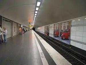
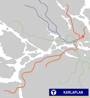
Karlaplan metro station is a station on the red line of the Stockholm metro, located at Karlaplan in the district of Östermalm. The station was opened on 2 September 1967 as part of the extension from Östermalmstorg to Ropsten.[2]
References
- ↑ "Fakta om SL och regionen 2019" (PDF) (in Swedish). Storstockholms Lokaltrafik. p. 51. Archived (PDF) from the original on 27 December 2020. Retrieved 30 March 2021.
- ↑ Schwandl, Robert. "Stockholm". urbanrail.
External links
This article is issued from Wikipedia. The text is licensed under Creative Commons - Attribution - Sharealike. Additional terms may apply for the media files.