| Karkamış Dam | |
|---|---|
 | |
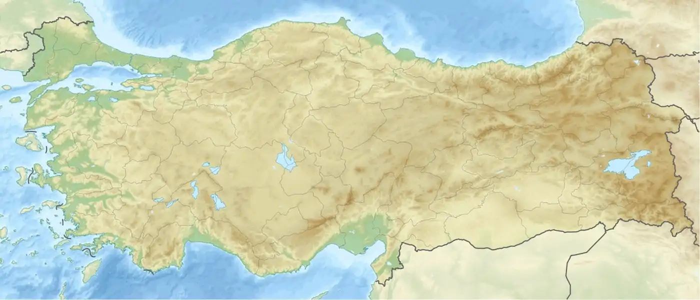
 Location of Karkamış Dam in Turkey | |
| Official name | Karkamış Baraji |
| Location | Gaziantep, Turkey |
| Coordinates | 36°52′13″N 38°1′48″E / 36.87028°N 38.03000°E |
| Construction began | 1996 |
| Opening date | 2000 |
| Owner(s) | State Hydraulic Works |
| Dam and spillways | |
| Type of dam | Embankment, concrete section |
| Impounds | Euphrates River |
| Height | 21.2 m (70 ft) |
| Dam volume | 210,000 m3 (7,400,000 cu ft) |
| Reservoir | |
| Creates | Karkamış Reservoir |
| Total capacity | 157,000,000 m3 (5.5×10⁹ cu ft) |
| Surface area | 28.4 km2 (11.0 sq mi) |
| Power Station | |
| Installed capacity | 189 MW (max) |
Karkamış Dam is one of the 21 dams of the Southeastern Anatolia Project of Turkey. It is on the Euphrates River.[1] The foundation of the dam was laid in 1996, and is 4.5 kilometres (2.8 mi) from the Syria border.[2] The hydroelectric power plant has a total installed power capacity of 189 megawatts (253,000 hp).[3]

References
- ↑ Karkamış Hydroelectric Power Plant, Turkey Archived 2014-08-08 at the Wayback Machine Power-technonlogy.com
- ↑ "Hürriyet - Haberler, Son Dakika Haberleri ve Güncel Haber". Hürriyet. Retrieved 9 August 2017.
- ↑ "BÖLGE MÜDÜRLÜĞÜ - KAHRAMANMARAŞ". Dsi.gov.tr. Archived from the original on 23 October 2010. Retrieved 28 September 2010.
External links
- Official GAP web site
- State Hydraulic Works (DSİ), Turkey. "General information on Karkamış Dam, Turkey". Archived from the original on 2014-07-02. Retrieved 2009-03-04.
- Southeast Anatolia Sustainable Human Development Program (GAP)
- Current status of GAP as of June 2000
- Data sheet
This article is issued from Wikipedia. The text is licensed under Creative Commons - Attribution - Sharealike. Additional terms may apply for the media files.
_Logo.png.webp)