Kampong Tanah Jambu | |
|---|---|
 Defence Academy, Royal Brunei Armed Forces | |
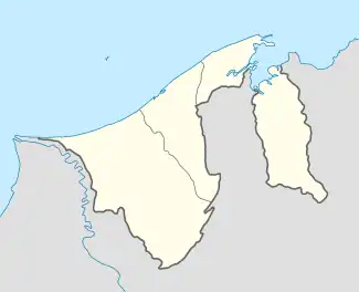 Location in Brunei | |
| Coordinates: 4°59′45″N 115°00′07″E / 4.9957°N 115.0019°E | |
| Country | Brunei |
| District | Brunei-Muara |
| Mukim | Mentiri |
| Population (2016)[1] | |
| • Total | 8,809 |
| Time zone | UTC+8 (BNT) |
| Postcode | BU1129 |
Kampong Tanah Jambu is a village in the north-east of Brunei-Muara District, Brunei. The population was 8,809 in 2016.[1] It encompasses the original village settlement, as well as the public housing areas STKRJ Kampong Tanah Jambu and RPN Kampong Tanah Jambu.
Name
Geography
Kampong Tanah Jambu is one of the villages in Mukim Mentiri, a mukim in Brunei-Muara District. It is one of the villages along Jalan Muara, a road which links Bandar Seri Begawan to Muara town.
Facilities
Mosque
Kampong Tanah Jambu Mosque is the village mosque; it was inaugurated on 7 December 1979 and can accommodate 600 worshippers.[3]
References
- 1 2 "Population and Housing Census Update Final Report 2016" (PDF). www.deps.gov.bn. Department of Statistics. December 2018. Retrieved 5 July 2021.
- ↑ Mohd Yunos, Rozan (2013). SEMINAR UNITED NATIONS GROUP OF EXPERTS ON GEOGRAPHICAL NAMES ASIA, SOUTHEAST DIVISION (PDF). pp. 12–13.
- ↑ "SenaraiMasjid - Masjid Kampong Tanah Jambu". www.kheu.gov.bn (in Malay). Retrieved 5 July 2021.
This article is issued from Wikipedia. The text is licensed under Creative Commons - Attribution - Sharealike. Additional terms may apply for the media files.