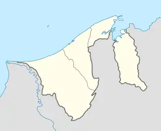
Kampong Imang | |
|---|---|
 Location in Brunei | |
| Coordinates: 4°47′28″N 114°48′03″E / 4.7911°N 114.8009°E | |
| Country | Brunei |
| District | Brunei-Muara |
| Mukim | Pengkalan Batu |
| Population (2016)[1] | |
| • Total | 16 |
| Time zone | UTC+8 (BNT) |
| Postcode | BH2623 |
Kampong Imang is a village in the south-west of Brunei-Muara District, Brunei. The population was 16 in 2016.[1] It is one of the villages within Mukim Pengkalan Batu. The postcode is BH2623.[2]
The village is home to Imang Reservoir which is the main source of water for the agricultural activities in the district.[3]
Geography
As a village subdivision, Kampong Imang borders Kampong Panchor Murai to the north, Kampong Wasan to the east and south, Kampong Birau to the south-west, Kampong Luagan Timbaran to the west, and Kampong Maraburong to the north-west.[4]
References
- 1 2 "Population and Housing Census Update Final Report 2016" (PDF). www.deps.gov.bn. Department of Statistics. December 2018. Retrieved 20 July 2021.
- ↑ "Buku Poskod Edisi Kedua (Kemaskini 26 Disember 2018)" (PDF). post.gov.bn (in Malay). Brunei Postal Services Department. 26 December 2018. Retrieved 20 July 2021.
- ↑ "Budget Allocation for the Ministry Of Primary Resources and Tourism". Brudirect.com. 15 March 2019. Retrieved 21 July 2021.
- ↑ "Geoportal - Survey Department". survey.gov.bn. Retrieved 28 August 2018.
This article is issued from Wikipedia. The text is licensed under Creative Commons - Attribution - Sharealike. Additional terms may apply for the media files.