Kamina Airport Aéroport de Kamina-Ville Kamina Ville Airport | |||||||||||
|---|---|---|---|---|---|---|---|---|---|---|---|
| Summary | |||||||||||
| Airport type | Public | ||||||||||
| Serves | Kamina, Democratic Republic of the Congo | ||||||||||
| Elevation AMSL | 3,474 ft / 1,059 m | ||||||||||
| Coordinates | 08°43′43″S 24°59′29″E / 8.72861°S 24.99139°E | ||||||||||
| Map | |||||||||||
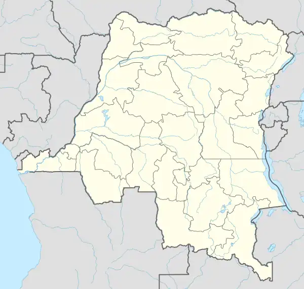
 KMN Location of Airport in Democratic Republic of the Congo | |||||||||||
| Runways | |||||||||||
| |||||||||||
Kamina Airport (IATA: KMN, ICAO: FZSB) (French: Aéroport de Kamina) is an airport serving Kamina, a city in Haut-Lomami Province, Democratic Republic of the Congo.
Kamina Airport is separate from the larger military Kamina Air Base VOR (Ident: KMB) which is located 16.4 nautical miles (30.4 km) east-northeast of the airport.[3]
Airlines and destinations
| Airlines | Destinations |
|---|---|
| Compagnie Africaine d'Aviation | Lubumbashi[4] |
Accidents and incidents
- On June 21, 2007, a Let-410 twin turboprop operated by Karibu Airways crashed into a swamp shortly after taking off from Kamina Airport. One passenger, Mbuyu Mibanga, a member of the National Assembly of the Democratic Republic of the Congo was killed. At least 12 more were injured, including two Congolese doctors working for the World Health Organization.
See also
References
- ↑ Airport information for Kamina Airport at Great Circle Mapper.
- ↑ "Kamina Airport". Google Maps. Google. Retrieved 25 April 2018.
- ↑ "Kamina Base VOR (KMB) @ OurAirports". ourairports.com. Retrieved 2018-08-20.
- ↑ March 2014 Timetable, http://www.caacongo.com/horaires-20-mars-2014.pdf
External links
- Kamina Airport at OpenStreetMap
- Ville Airport at OurAirports
- Aeronautical chart and airport information for Kamina Ville Airport at SkyVector
- Kamina Airport at FallingRain
- Accident history for Kamina-Ville Airport at Aviation Safety Network
This article is issued from Wikipedia. The text is licensed under Creative Commons - Attribution - Sharealike. Additional terms may apply for the media files.