| Kadana Dam | |
|---|---|
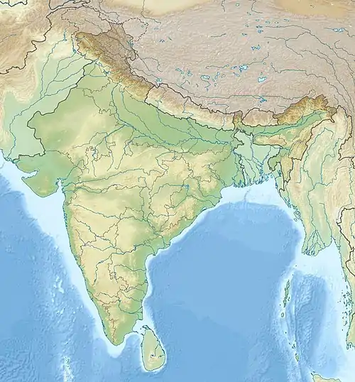
 Location of Kadana Dam in India | |
| Country | India |
| Location | Mahisagar district |
| Coordinates | 23°18′26.12″N 73°49′38.12″E / 23.3072556°N 73.8272556°E |
| Purpose | Power, irrigation, water storage |
| Status | Operational |
| Construction began | 1979 |
| Opening date | 1989 |
| Construction cost | 20 billion ruppes |
| Owner(s) | NWRWS, Government of Gujarat |
| Dam and spillways | |
| Type of dam | Masonry with embankment main section |
| Impounds | Mahi River |
| Height | 66 m (217 ft) |
| Length | 575 m (1,886 ft) |
| Reservoir | |
| Active capacity | 1,203,000,000 m3 (975,000 acre⋅ft) |
| Catchment area | 25,520 km2 (9,850 sq mi) |
| Kadana power plant | |
| Commission date | Stage I: 1990 Stage II: 1998 |
| Turbines | Stage I: 2 x 60 MW reversible Francis-type Stage II: 2 x 60 MW Francis-type |
| Installed capacity | 240 MW |
Kadana Dam is an earthen and masonry on the Mahi River in Mahisagar district of Gujarat, India. The dam was constructed between 1979 and 1990. The dams a pumped-storage hydroelectric power-station. The first two generators were commissioned in 1990, the second two in 1998. The first two generators commissioned, Stage I, are reversible kaplan turbines that allow the power station to generate during peak hours then pump back into the reservoir during low hours such as night.[1][2][3]
Power Plant
The dam has an installed capacity of 240 MW.[4]
| Stage | Unit Number | Installed Capacity (MW) | Date of Commissioning | Status |
|---|---|---|---|---|
| Stage I | 1 | 60 | 1990 March | Operational |
| Stage I | 2 | 60 | 1990 September | Operational |
| Stage II | 3 | 60 | 1998 January | Operational |
| Stage II | 4 | 60 | 1998 May | Operational |
Kadana Eddy Marking Sedimentary Structures
Kadana Eddy Marking Sedimentary Structures nearby has been declared the National Geological Monuments of India by the Geological Survey of India (GSI), for their protection, maintenance, promotion and enhancement of geotourism.[5][6][7]
See also
- Mahi Bajaj Sagar Dam – located upstream
References
- ↑ "240 MW capacity Kadana Dam generates at most two hours of hydro-electricity: GETC report". The Indian Express. 6 June 2009. Retrieved 24 March 2014.
- ↑ "Water Resources Development Projects in the Mahi Basin". National Institute of Hydrology Roorkee. Archived from the original on 11 February 2012. Retrieved 24 March 2014.
- ↑ "Pumped Storage Schemes in India". Central Board of Irrigation & Power. Archived from the original on 30 March 2014. Retrieved 24 March 2014.
- ↑ "Gujarat State Electricity Corporation Limited". gsecl.in. Archived from the original on 2014-03-20. Retrieved 2014-03-20.
- ↑ "National Geological Monument, from Geological Survey of India website". Archived from the original on 2017-07-12. Retrieved 2019-01-21.
- ↑ "Geo-Heritage Sites". pib.nic.in. Press Information Bureau. 2016-03-09. Retrieved 2018-09-15.
- ↑ national geo-heritage of India Archived 2017-01-11 at the Wayback Machine, INTACH