Josuani Airport | |||||||||||
|---|---|---|---|---|---|---|---|---|---|---|---|
| Summary | |||||||||||
| Airport type | Public | ||||||||||
| Serves | Josuani, Bolivia | ||||||||||
| Elevation AMSL | 498 ft / 152 m | ||||||||||
| Coordinates | 13°6′20″S 66°10′28″W / 13.10556°S 66.17444°W | ||||||||||
| Map | |||||||||||
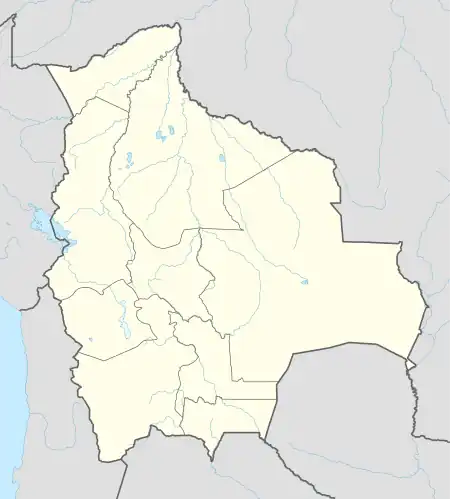 SLJS Location of Josuani Airport in Bolivia | |||||||||||
| Runways | |||||||||||
| |||||||||||
Josuani Airport (ICAO: SLJS) is an airstrip in the pampa of the Beni Department in Bolivia. The runway is within the Reserva Nacional Lagunas de Beni y Pando,[4][5][6] a Bolivian wildlife sanctuary.
See also
References
- ↑ Airport record for Josuani Airport at Landings.com. Retrieved 2013-08-11
- ↑ Google (2013-08-11). "location of Josuani Airport" (Map). Google Maps. Google. Retrieved 2013-08-11.
- ↑ Airport information for Josuani Airport at Great Circle Mapper.
- ↑ IUCN Directory of Neotropical Protected Areas. Tycooly International Publishing, Ltd. 1982. pp. 58, 59. ISBN 0 907567 62 2.
- ↑ Protected areas of Beni Department
- ↑ OpenStreetMap - Reserva Nacional Lagunas de Beni y Pando
External links
- OpenStreetMap - Josuani
- OurAirports - Josuani
- Bing Maps - Josuani
- Accident history for Josuani Airport at Aviation Safety Network
This article is issued from Wikipedia. The text is licensed under Creative Commons - Attribution - Sharealike. Additional terms may apply for the media files.