Ixtlahuacán | |
|---|---|
 Coat of arms | |
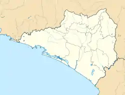 Ixtlahuacán Location in Mexico 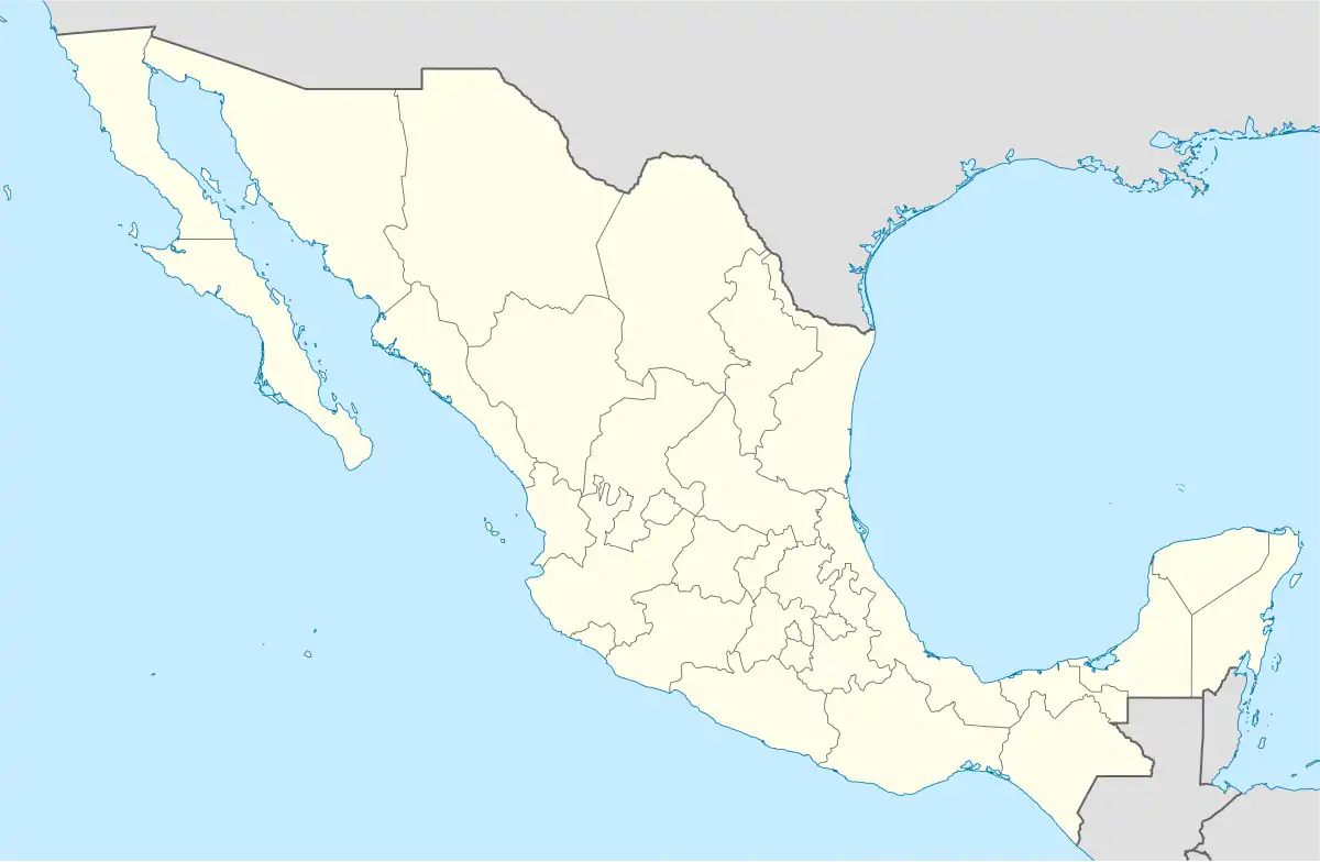 Ixtlahuacán Ixtlahuacán (Mexico) | |
| Coordinates: 18°59′52″N 103°44′09″W / 18.99778°N 103.73583°W | |
| Country | |
| State | Colima |
| Municipality | Ixtlahuacán |
Ixtlahuacán is a city and seat of the municipality of Ixtlahuacán, in the Mexican state of Colima.[1]
References
- ↑ Instituto Nacional de Estadística y Geografía. Principales resultados por localidad 2005 (ITER). Retrieved on November 9, 2008
Colima (capital) | ||
| Municipalities (municipal seats) |  | |
This article is issued from Wikipedia. The text is licensed under Creative Commons - Attribution - Sharealike. Additional terms may apply for the media files.