Hvítanes | |
|---|---|
Village | |
 Hvítanes, Faroe Islands | |
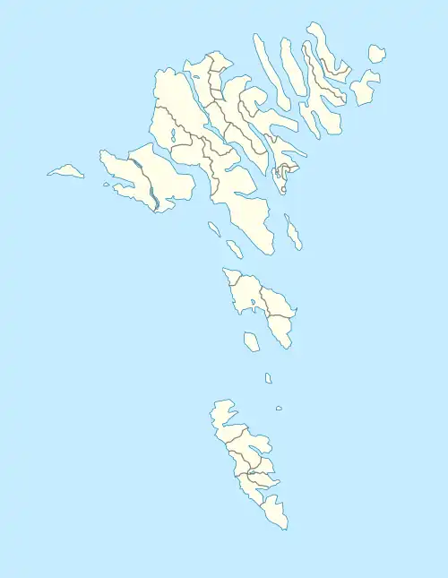 Hvítanes Location in the Faroe Islands | |
| Coordinates: 62°02′48″N 6°46′10″W / 62.04667°N 6.76944°W | |
| State | |
| Constituent country | |
| Island | Streymoy |
| Municipality | Tórshavn Municipality |
| Founded | 1837 |
| Population (August 2022)[1] | |
| • Total | 99 |
| Time zone | GMT |
| • Summer (DST) | UTC+1 (EST) |
| Postal code | FO 187 |
| Climate | Cfc |
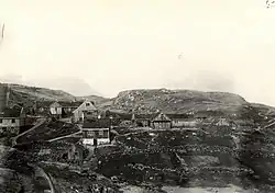
Hvítanes (Danish: Hvidenæs) is a village in the Faroe Islands. It is on Streymoy's east coast, northeast of Hoyvík and Tórshavn. Its name means "White Point" in Faroese.
Hvítanes is located in a little bay with a stone beach and a harbour where the small boats can be pulled up a ramp out of reach of the sometimes destructive sea.
It was founded in 1837.
The Eysturoyartunnilin surfaces near Hvítanes and connects Tórshavn with the Skálafjørður on Eysturoy.
See also
References
- ↑ Population, municipalities and villages Statistics Faroe Islands
External links
- Faroeislands.dk: Hvítanes Images and description of all cities on the Faroe Islands.
Wikimedia Commons has media related to Hvítanes.
This article is issued from Wikipedia. The text is licensed under Creative Commons - Attribution - Sharealike. Additional terms may apply for the media files.